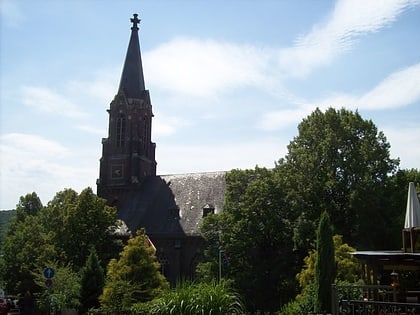
Church of Peace, Siegen
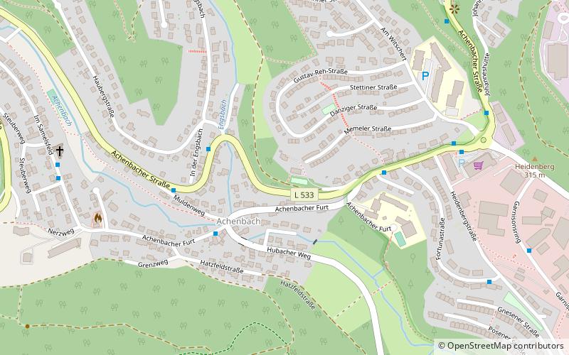
Map
Map

Facts and practical information
The Friedenskirche is a former Protestant Reformed wooden church in the Siegen district of Achenbach. It was one of three places of worship of the Christus-Kirchengemeinde Siegen until its disavowal and is now a listed building.
Coordinates: 50°51'59"N, 7°59'28"E
Address
Siegen
ContactAdd
Social media
Add
Day trips
Church of Peace – popular in the area (distance from the attraction)
Nearby attractions include: DAV Kletterzentrum Siegerland, Autobahnkirche Siegerland, Freusburg, Martinikirche.
Frequently Asked Questions (FAQ)
How to get to Church of Peace by public transport?
The nearest stations to Church of Peace:
Bus
Train
Bus
- Siegen Achenbacher Furt • Lines: A645, C112 (3 min walk)
- Siegen In der Engsbach • Lines: A645, C112, C113 (4 min walk)
Train
- Siegen Hauptbahnhof (33 min walk)


