Central Rhön
Map

Map

Facts and practical information
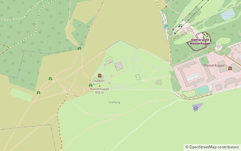
The Central Rhön is a 5th level natural region which, together with the Southern High Rhön, forms the High Rhön. The region has several mountains over 900 metres high, including: the Wasserkuppe and Heidelstein. Other summits over 900 metres are regarded as subpeaks due to their low isolation and prominence. ()
Location
Hesse
ContactAdd
Social media
Add
Day trips
Central Rhön – popular in the area (distance from the attraction)
Nearby attractions include: Wasserkuppe, Deutsches Segelflugmuseum, Abtsrodaer Kuppe, Pferdskopf.


