Heidelstein
Map

Map

Facts and practical information
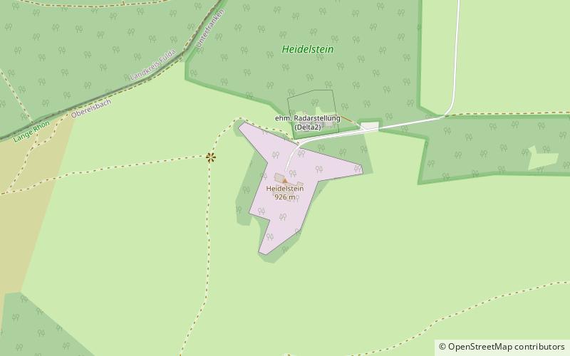
The Heidelstein, between Bischofsheim an der Rhön in the Bavarian county of Rhön-Grabfeld and Wüstensachsen in the Hessian county of Fulda, is a mountain, 925.7 m above sea level high, on the state border in the mountains of the High Rhön, part of the German Central Upland range of Rhön. Its actual summit is in Bavaria. Sometimes its main peak is also called Schwabenhimmel. ()
Location
Bavaria
ContactAdd
Social media
Add
Day trips
Heidelstein – popular in the area (distance from the attraction)
Nearby attractions include: Wasserkuppe, Deutsches Segelflugmuseum, Black Moor, Gangolfsberg.


