Birgeler Mühle, Birgel

Gallery (1)
Map
Map
Facts and practical information
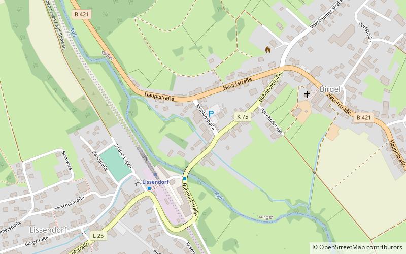
Birgeler Mühle (address: Bahnhofstraße 16) is a place located in Birgel (Rhineland-Palatinate state) and belongs to the category of watermill.
It is situated at an altitude of 1355 feet, and its geographical coordinates are 50°19'11"N latitude and 6°37'2"E longitude.
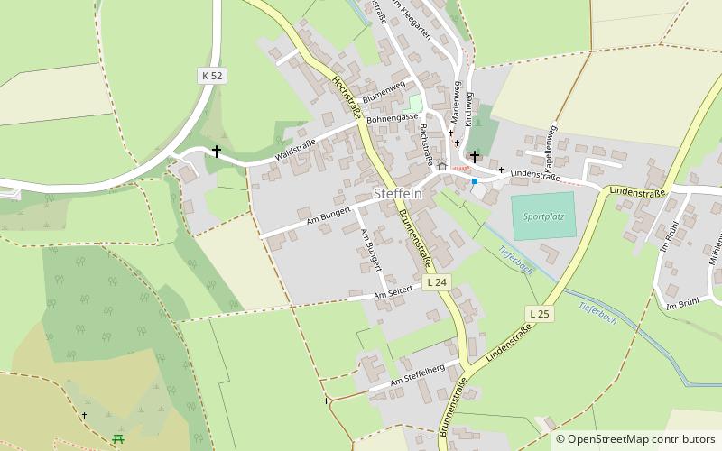
Among other places and attractions worth visiting in the area are: Kriminalhaus, Hillesheim (museum, 79 min walk), Steffeln (locality, 82 min walk), Kalvarienberg (nature, 88 min walk).
Coordinates: 50°19'11"N, 6°37'2"E
Address
Bahnhofstraße 16Birgel
ContactAdd
Social media
Add
Day trips