Rockeskyller Kopf

Gallery (2)
Map
Map
Gallery
Facts and practical information
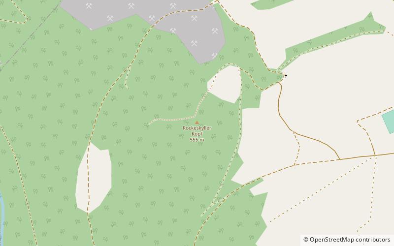
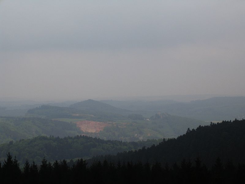
The Rockeskyller Kopf near Rockeskyll in the county of Vulkaneifel in the German state of Rhineland-Palatinate is a hill, 554.6 m above sea level, in the Eifel mountains. It is an extinct volcano complex from the Quaternary period, around 360,000 years old and is designated as a natural monument. ()
Location
Rhineland-Palatinate
ContactAdd
Social media
Add
Day trips


