Stöcklewald
Map
Map

Facts and practical information
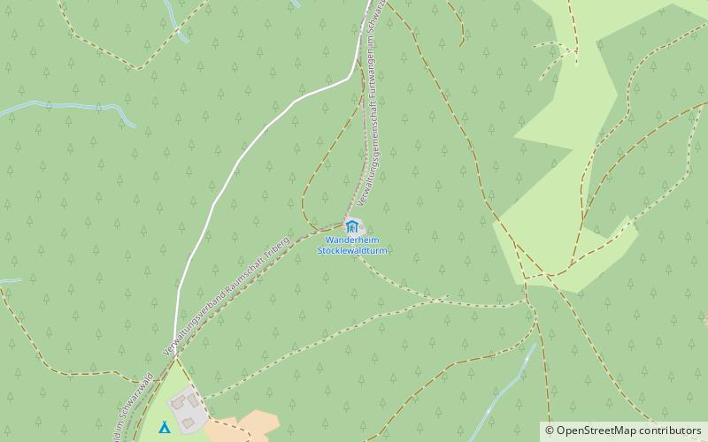
The Stöcklewald is a mountain, 1,068.2 m above sea level, in the southern part of the Central Black Forest in Germany between the towns of Furtwangen and Triberg, each about 5 kilometres distant, in the county of Schwarzwald-Baar-Kreis. Towards the north, the Black Forest only exceeds this height again in the area of the Schliffkopf and the Hornisgrinde. ()
Location
Baden-Württemberg
ContactAdd
Social media
Add
Day trips
Stöcklewald – popular in the area (distance from the attraction)
Nearby attractions include: Deutsches Uhrenmuseum, Triberg Waterfalls, German Phono Museum, Blindensee.

