Martinskapelle
Map
Gallery
Facts and practical information
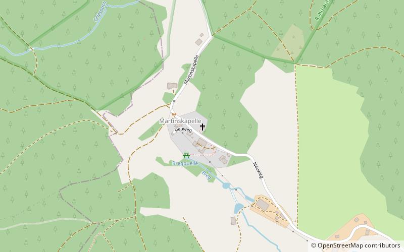
St. Martin’s Chapel stands at an elevation of 1,085 metres above sea level at the upper end of the Katzensteig valley on the territory of Furtwangen just above the source of the Danube. It is also not far from the source of the River Elz and thus the main European watershed between the Rhine and the Danube. The West Way, a major hiking trail in the Black Forest runs past the chapel as does the long-distance ski trail from Schonach to Belchen. ()
Day trips
Martinskapelle – popular in the area (distance from the attraction)
Nearby attractions include: Deutsches Uhrenmuseum, Triberg Waterfalls, Blindensee, Maria in der Tanne.

