Ferdinand-von-Schill-Weg
Map

Map

Facts and practical information
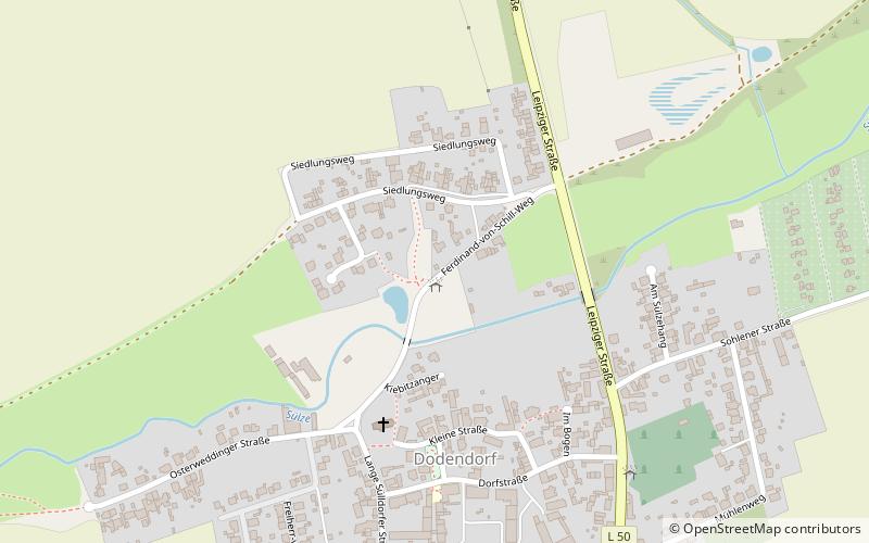
Ferdinand-von-Schill-Weg is a place located in Germany and belongs to the category of bridge.
It is situated at an altitude of 194 feet, and its geographical coordinates are 52°2'30"N latitude and 11°36'46"E longitude.
Among other places and attractions worth visiting in the area are: Salbker FriedhofMagdeburg (cemetery, 81 min walk), Glockenturm Sankt StephanusMagdeburg (church, 83 min walk), Sankt GertraudMagdeburg (museum, 87 min walk).
Coordinates: 52°2'30"N, 11°36'46"E
Day trips
Ferdinand-von-Schill-Weg – popular in the area (distance from the attraction)
Nearby attractions include: Technikmuseum, villa p. - Figurenspielsammlung Mitteldeutschland, Sankt Gertraud, Glockenturm Sankt Stephanus.


