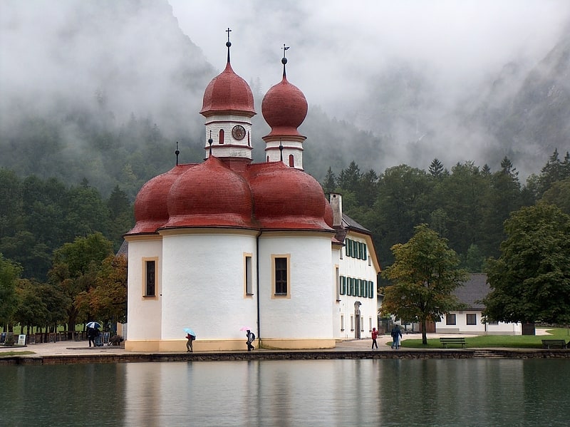
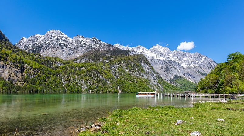
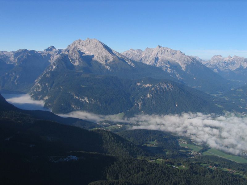
Hochkalter
#747 among destinations in Germany
Facts and practical information
At 2,606.9 metres, the Hochkalter in the Berchtesgaden Alps is the highest peak in the massif of the same name and therefore one of the highest mountains in Germany. The Hochkalter Massif is also called the Hochkalter mountains. ()
BavariaGermany
Hochkalter plan & book
Unleash the traveler in you — discover the cheapest flight deals, find the perfect hotel or hostel nearby, and search for the best car rental prices. Travel at your own pace to discover new places and enjoy your journey.
Hochkalter – popular in the area (distance from the attraction)
Nearby attractions include: St. Bartholomew's Church, Königssee, Funtensee, Grünsee.
- 5.3 miEPicturesque 17th-century lakeside church
St. Bartholomew's Church, Berchtesgaden National Park
134 min walk • Nestled in the picturesque landscape of Schönau am Königsee, within the Berchtesgaden National Park in Germany, lies the tranquil St. Bartholomew's Church. This charming church, with its distinctive onion-shaped domes and striking red roof, serves as a beacon of...
- 5.3 miELake with boating and St. Bartholomew's
Königssee, Berchtesgaden National Park
137 min walk • Nestled in the picturesque Berchtesgaden National Park, the Königssee is a natural jewel of Germany, known for its crystal-clear waters and stunning alpine scenery. This deep lake, renowned for being one of the country's cleanest, is a haven for tourists seeking...
- 6.3 miSETranquil lake in picturesque surrounds
Funtensee, Berchtesgaden National Park
160 min walk • Funtensee is a karst lake on the Steinernes Meer plateau in Berchtesgaden National Park, Bavaria, Germany. It is located in the larger of two sinkholes. The area is known for record low temperatures, up to 30 °C lower than the surrounding area. Its primary inflows are the Steingraben, Stuhlgraben and Rennergraben streams.
- 6.2 miSENature, Natural attraction, Lake
Grünsee, Berchtesgaden National Park
158 min walk • Grünsee is a lake in Bavaria, Germany. At an elevation of 1474 m, its surface area is 3.92 ha.
- 4 miSNature, Natural attraction, Mountain
Großer Hundstod
103 min walk • The Großer Hundstod is, at 2,593 metres, one of the main peaks in the Steinernes Meer in the Berchtesgaden Alps, and lies on the border between Bavaria and the Austrian state of Salzburg.
- 5 miENatural attraction, Nature, Mountain
Grünstein
127 min walk • Grünstein is a mountain of Bavaria, Germany.
- 4.7 miENature, Natural attraction, Mountain
Watzmann, Berchtesgaden National Park
120 min walk • The Watzmann is a mountain in the Bavarian Alps south of the village of Berchtesgaden. It is the third highest in Germany, and the highest located entirely on German territory.
- 2.8 miEMassive peak for climbing and ice fields
Watzmann, Berchtesgaden National Park
73 min walk • The Watzmann is a mountain in the Bavarian Alps south of the village of Berchtesgaden. It is the third highest in Germany, and the highest located entirely on German territory.
- 3.7 miNWNature, Natural attraction, Mountain
Stadelhorn
94 min walk • The Stadelhorn is the highest and most prominent peak in the Reiter Alm on the Austro-German border, lying on the boundary between the states of Bavaria and Salzburg. The Stadelhorn is a popular, but rather exposed hiking summit.
- ~1320 ftNNature, Natural attraction, Natural feature
Blaueis, Berchtesgaden National Park
7 min walk • The Blaueis is the northernmost glacier in the Alps and lies within the municipality of Ramsau in the Bavarian part of the Berchtesgaden Alps.
- 2.8 miENature, Natural attraction, Natural feature
Watzmann Glacier, Berchtesgaden National Park
72 min walk • The Watzmann Glacier is one of the five recognised glaciers in Germany.