Stadelhorn
Map
![Stadelhorn location map](https://tzmedia.b-cdn.net/media/images/static-maps/de/47_593_12_7953.jpg)
Map
![Stadelhorn location map](https://tzmedia.b-cdn.net/media/images/static-maps/de/47_593_12_7953.jpg)
Facts and practical information
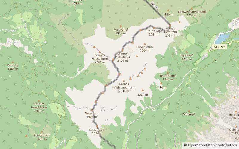
The Stadelhorn is the highest and most prominent peak in the Reiter Alm on the Austro-German border, lying on the boundary between the states of Bavaria and Salzburg. ()
Location
Bavaria
ContactAdd
Social media
Add
Day trips
Stadelhorn – popular in the area (distance from the attraction)
Nearby attractions include: Großer Hundstod, Hochkalter, Blaueis, Rotpalfen.