Kloppstert
Map
Facts and practical information
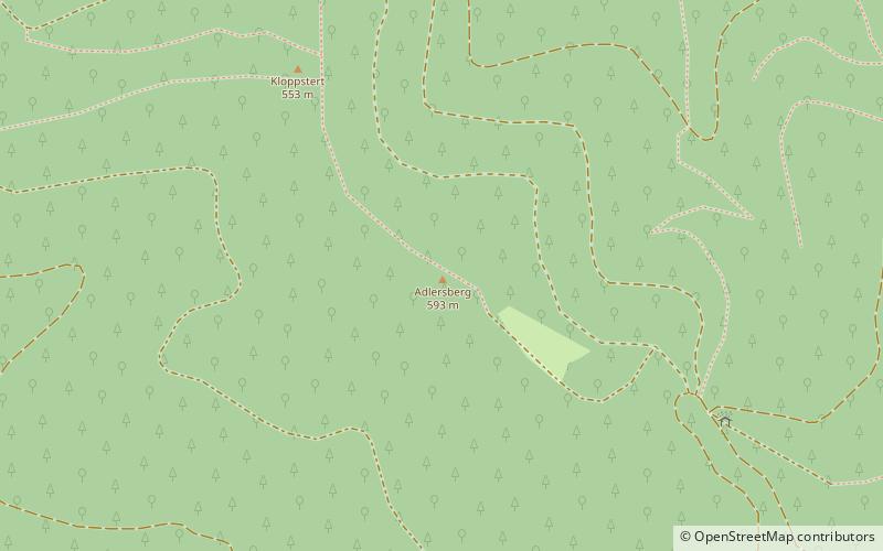
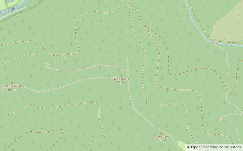
The Kloppstert is a hill, roughly 553 metres high, in the southwestern Harz in Lower Saxony, Germany. In the topographical map printed in 1978 it can only be made out with difficulty that the third letter is an o and the penultimate one an r. Unfortunately a contour line runs over the letter r so that it looks like a p. In the digitalised 1:25,000 topographic map, the hill is wrongly named as the Klappstept. ()
Location
Lower Saxony
ContactAdd
Social media
Add
Day trips
Kloppstert – popular in the area (distance from the attraction)
Nearby attractions include: Unicorn Cave, Burg Scharzfels, Großer Knollen, Koboltstaler Köpfe.


