Koboltstaler Köpfe

Map
Facts and practical information
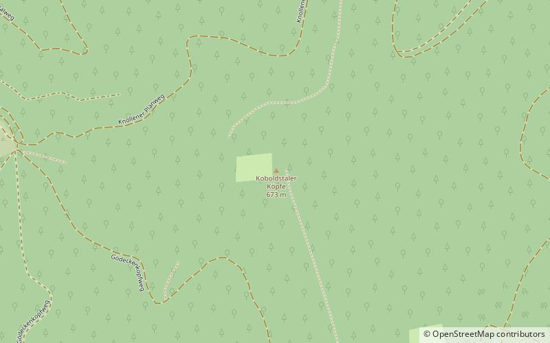
The Koboltstaler Köpfe are a group of three mountains, that rise southwest of Sankt Andreasberg and east of Sieber in the district of Göttingen in Lower Saxony. The highest of the three peaks is 673 metres high. The other two summits lie roughly 350 metres east and south of the main peak respectively and are ony a few metres lower. The Koboltstaler Köpfe are mainly covered by pine forest and accessible on all sides by forest roads. ()
Location
Lower Saxony
ContactAdd
Social media
Add
Day trips
Koboltstaler Köpfe – popular in the area (distance from the attraction)
Nearby attractions include: Oder Dam, Stöberhai, Großer Knollen, Jordanshöhe.


