Vahrenwald-List, Hanover
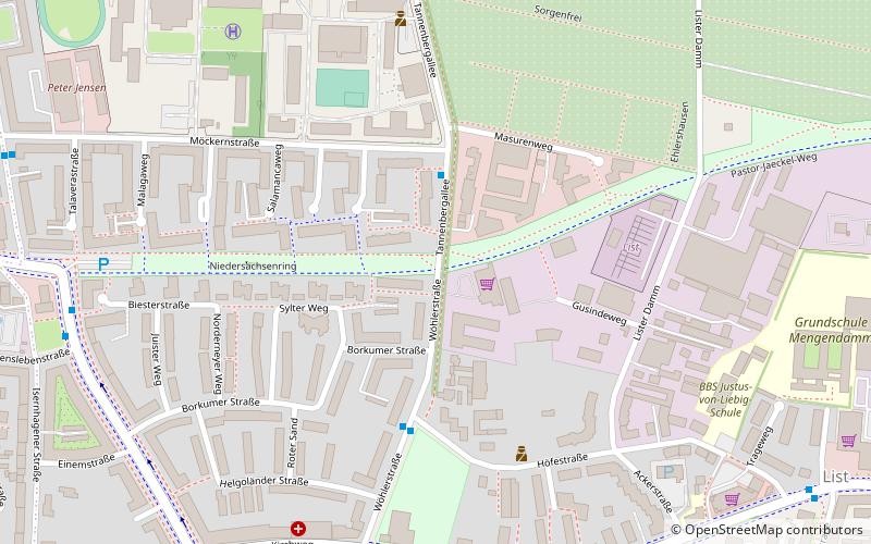
Map
Facts and practical information
Vahrenwald-List is the second district of Hanover. With 71,173 inhabitants, it is the most populous district of the city consisting of the quarters Vahrenwald and List. Since 2011, the SPD politician Irma Walkling-Stehmann holds the district mayor office. ()
Address
Vahrenwald-List (List)Hanover
ContactAdd
Social media
Add
Getting there by public transportation
Public transportation stops near this location
- Metro
- Bus
- Tram
 Metro
Metro
- Calculate routeMöckernstraße 3 min walk
- Calculate routeHöfestraße 4 min walk
- Calculate routeLeibnizschule 7 min walk
- Calculate routeAlvenslebenstraße 8 min walk
- Calculate routeLortzingstraße 14 min walk
- Calculate routeNiedersachsenring 15 min walk
- Calculate routeBüttnerstraße 17 min walk
- Calculate routeVier Grenzen 17 min walk
- Calculate routeLister Platz 17 min walk
- Calculate routeWerderstraße 25 min walk
- Calculate routeSedanstraße/Lister Meile 27 min walk
- Calculate routeKopernikusstraße 35 min walk
Day trips


Frequently Asked Questions (FAQ)
Which popular attractions are close to Vahrenwald-List?
Nearby attractions include Lister Matthäus-Gemeinde, Hanover (7 min walk), St. Joseph, Hanover (12 min walk), St. Markuskirche, Hanover (19 min walk), Lister Meile, Hanover (21 min walk).
How to get to Vahrenwald-List by public transport?
The nearest stations to Vahrenwald-List:
Bus
Tram
Metro
Bus
- Möckernstraße • Lines: 128 (3 min walk)
- Höfestraße • Lines: 128 (4 min walk)
Tram
- Lortzingstraße • Lines: 3, 7, 9 (14 min walk)
- Niedersachsenring • Lines: 1, 2 (15 min walk)
Metro
- Lister Platz (17 min walk)
- Werderstraße (25 min walk)