Schlachthof Stollberg, Stollberg

Gallery (1)
Map
Map
Facts and practical information
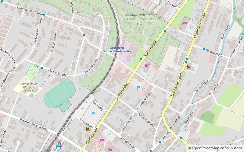
Schlachthof Stollberg (address: Schlachthofstraße 7) is a place located in Stollberg (Saxony state) and belongs to the category of museum, art gallery.
It is situated at an altitude of 1434 feet, and its geographical coordinates are 50°42'46"N latitude and 12°46'45"E longitude.
Among other places and attractions worth visiting in the area are: Hoheneck women's prison (forts and castles, 16 min walk), Hartenstein (town, 151 min walk), Golfclub Chemnitz, Chemnitz (golf, 161 min walk).
Coordinates: 50°42'46"N, 12°46'45"E
Day trips


