Kollwesshöh
Map

Map

Facts and practical information
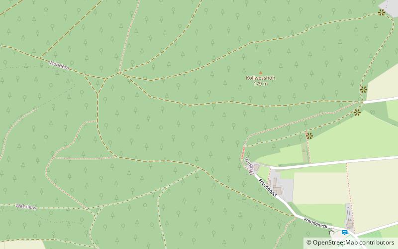
The Kollwesshöh is, at 181.4 m above sea level, the highest hill in the Stemweder Berg, the smallest and northernmost range of the Central Uplands in Germany, and also the highest point in the North German Plain north of the Bückeberge. It is located in the district of Minden-Lübbecke in the German state of North Rhine-Westphalia. To the west-northwest is its neighbour, the Scharfer Berg, which is almost as high. ()
Location
North Rhine-Westphalia
ContactAdd
Social media
Add
Day trips
Kollwesshöh – popular in the area (distance from the attraction)
Nearby attractions include: Dümmer, Stemweder Berg, Bohmte, Stemwede.


