Stemweder Berg

Gallery (1)
Map
Map
Facts and practical information
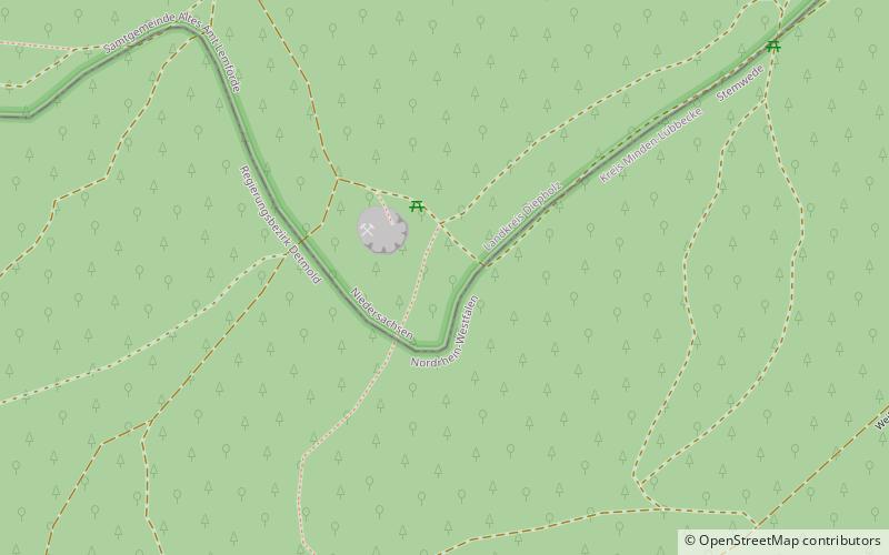
The Stemweder Berg is a ridge 181.4 metres above sea level on the border of North Rhine-Westphalia and Lower Saxony in Germany. It is the northernmost and smallest of Germany's Central Uplands ranges. ()
Location
Lower Saxony
ContactAdd
Social media
Add
Day trips