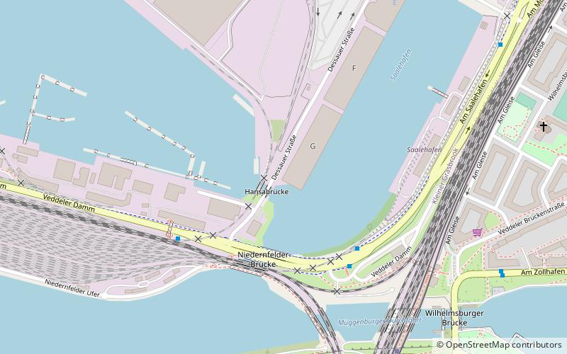
Dessauer Ufer, Hamburg
Facts and practical information
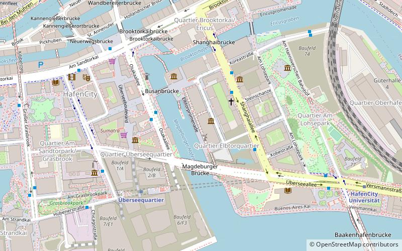
Dessauer Ufer is a place located in Hamburg (Hamburg state) and belongs to the category of bridge.
It is situated at an altitude of -3 feet, and its geographical coordinates are 53°31'29"N latitude and 10°0'35"E longitude.
Planning a visit to this place, one can easily and conveniently get there by public transportation. Dessauer Ufer is a short distance from the following public transport stations: S Veddel (bus, 4 min walk), Veddel (light rail, 7 min walk), Elbbrücken (metro, 24 min walk), Ernst-August-Schleuse (ferry, 30 min walk).
Among other places and attractions worth visiting in the area are: Hafenmuseum (museum, 11 min walk), BallinStadt (museum, 11 min walk), Neue Elbbrücke (bridge, 22 min walk).
Hamburg-Mitte (Kliener Grasbrook)Hamburg
- Metro
- Bus
- Light rail
- Ferry
 Metro
Metro
- Calculate routeS Veddel 4 min walk
- Calculate routeDessauer Straße 4 min walk
- Calculate routeWilhelmsburger Platz 8 min walk
- Calculate routeVeddel 7 min walk
- Calculate routeElbbrücken 25 min walk
- Calculate routeElbbrücken 24 min walk
- Calculate routeHafenCity Universität 29 min walk
- Calculate routeÜberseequartier 31 min walk
- Calculate routeErnst-August-Schleuse 30 min walk


Frequently Asked Questions (FAQ)
Which popular attractions are close to Dessauer Ufer?
How to get to Dessauer Ufer by public transport?
Bus
- S Veddel • Lines: 256 (4 min walk)
- Dessauer Straße • Lines: 256 (4 min walk)
Light rail
- Veddel • Lines: S3, S31 (7 min walk)
- Elbbrücken • Lines: S3, S31 (25 min walk)
Metro
- Elbbrücken • Lines: U4 (24 min walk)
- HafenCity Universität • Lines: U4 (29 min walk)
Ferry
- Ernst-August-Schleuse • Lines: 73 (30 min walk)