Ehrenberg, Wuppertal
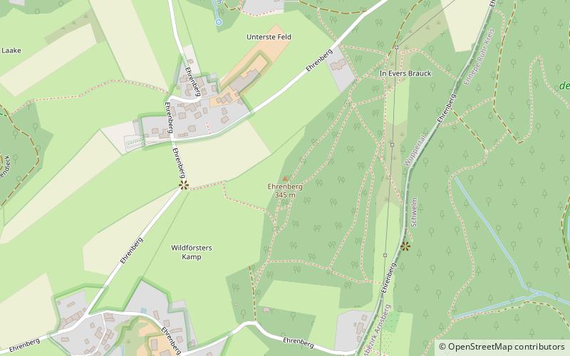
Map
Gallery
Facts and practical information
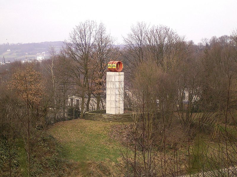
The Ehrenberg is a good 345 meters high ridge in the east of the city of Wuppertal and is also the namesake for the residential district Ehrenberg.
Coordinates: 51°15'59"N, 7°15'59"E
Address
Langerfeld-Beyenburg (Ehrenberg)Wuppertal
ContactAdd
Social media
Add
Day trips
Ehrenberg – popular in the area (distance from the attraction)
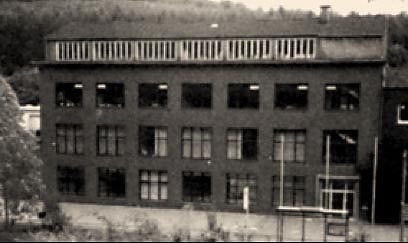
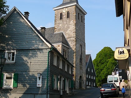
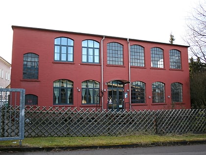
Nearby attractions include: KZ Kemna, Alte Kirche, Kulturzentrum Bandfabrik, Christ Church.
Frequently Asked Questions (FAQ)
Which popular attractions are close to Ehrenberg?
Nearby attractions include Kulturzentrum Bandfabrik, Wuppertal (20 min walk), KZ Kemna, Wuppertal (24 min walk), Kindermuseum Wuppertal, Wuppertal (24 min walk).
How to get to Ehrenberg by public transport?
The nearest stations to Ehrenberg:
Bus
Train
Bus
- Papierfabrik • Lines: 616 (17 min walk)
- Haus Kemna • Lines: 616 (20 min walk)
Train
- Wuppertal-Langerfeld (34 min walk)

