Schimmelkopf

Gallery (1)
Map
Map
Facts and practical information
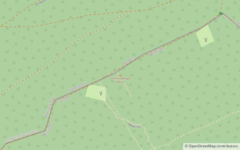
The Schimmelkopf or Weiskircher Höhe is a mountain that rises in the Schwarzwälder Hochwald on the boundary between the counties of Trier-Saarburg and Merzig-Wadern and, at 694.8 m above sea level, is the second highest peak in the German state of Saarland. ()
Location
Saarland
ContactAdd
Social media
Add
Day trips


