Drachenfels

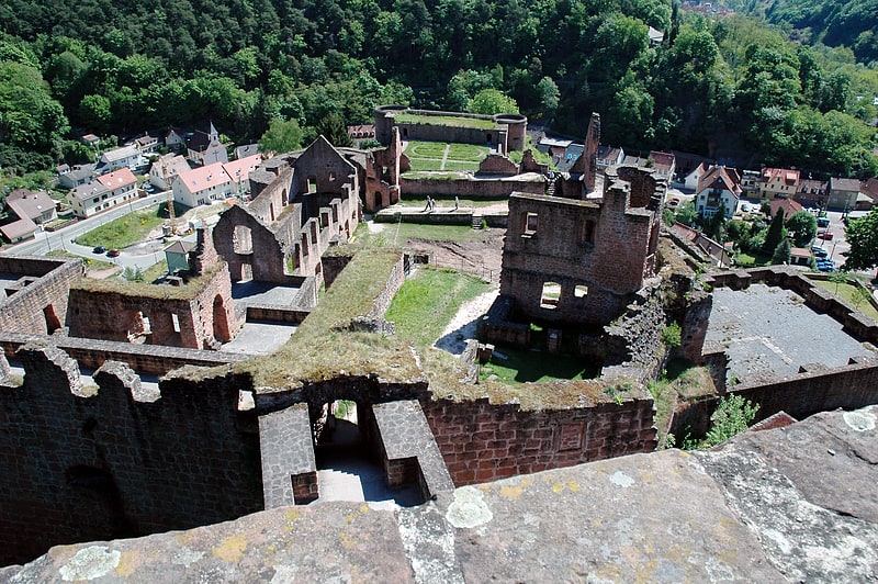
Gallery (2)
Map
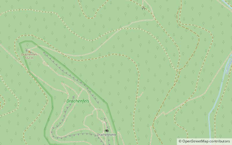

Map
Gallery
Facts and practical information
The Drachenfels is a hill in the northern part of the Palatine Forest in the German state of Rhineland-Palatinate) on the forest estate of the county town of Bad Dürkheim. At 570.8 m above sea level, it is the highest point of the Palatine Forest north of the Hochspeyerbach - Speyerbach line. The Drachenfels area has been designated as a nature reserve. ()
Location
Rhineland-Palatinate
ContactAdd
Social media
Add
Day trips