Rammelburg

Gallery (1)
Map
Map
Facts and practical information
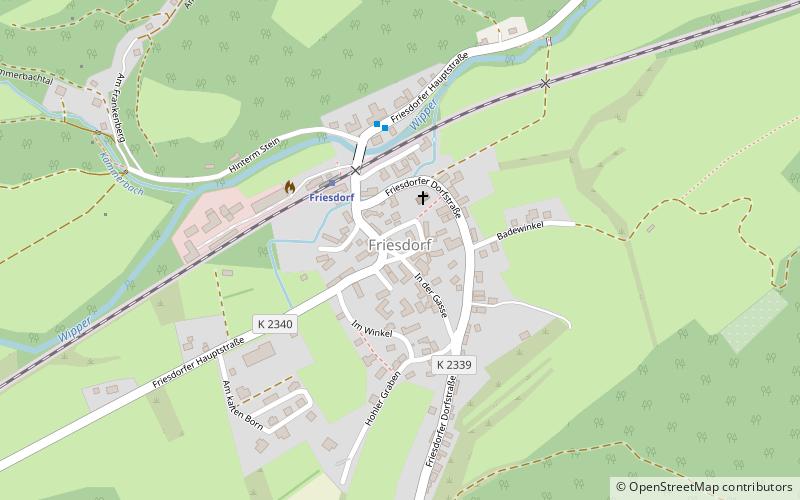
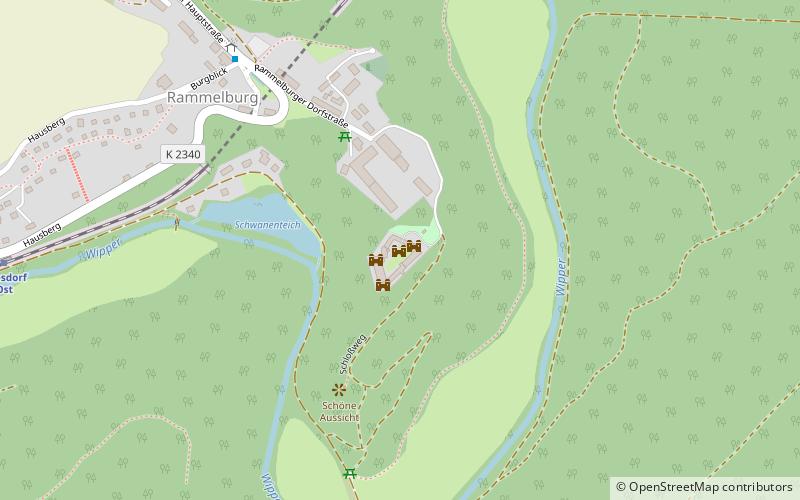
Rammelburg is a district of the town of Mansfeld in the German state of Saxony-Anhalt. It is located in the valley of the Wipper, about 5 kilometers northeast of the spa town of Wippra. In the village there is a tunnel and a stop of the railroad line Klostermansfeld-Wippra. The village Rammelburg is situated between the villages Friesdorf and Biesenrode. Rammelburg Castle dominates the townscape.
Coordinates: 51°35'53"N, 11°19'55"E
Day trips