Niederkirchnerstraße, Berlin
Map

Gallery
Facts and practical information
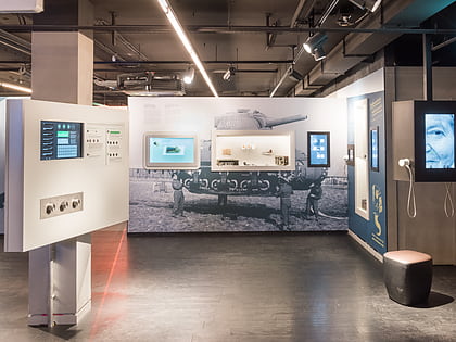
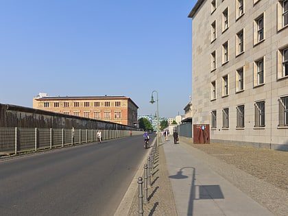
Niederkirchnerstraße is a street in Berlin, Germany and was named after Käthe Niederkirchner. The thoroughfare was known as Prinz-Albrecht-Straße until 1951 but the name was changed by the socialist German government. The street was the location of the SS Reich Security Main Office, the headquarters of the Sicherheitspolizei, SD, Einsatzgruppen and Gestapo. The site is now marked by the Topography of Terror memorial and a museum, which includes a permanent exhibition showing the crimes of Nazism. ()
Address
Friedrichshain-Kreuzberg (Kreuzberg)Berlin
ContactAdd
Social media
Add
Day trips
Niederkirchnerstraße – popular in the area (distance from the attraction)
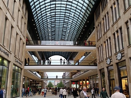
Nearby attractions include: Potsdamer Platz, Topography of Terror, Checkpoint Charlie Museum, Mall of Berlin.
Frequently Asked Questions (FAQ)
Which popular attractions are close to Niederkirchnerstraße?
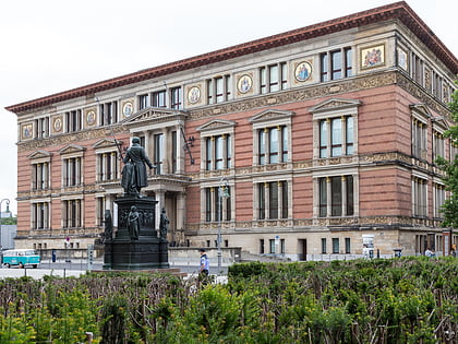
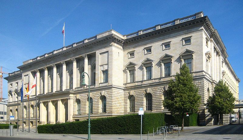
Nearby attractions include Martin-Gropius-Bau, Berlin (2 min walk), Landtag of Prussia, Berlin (2 min walk), Topography of Terror, Berlin (3 min walk), Detlev-Rohwedder-Haus, Berlin (4 min walk).
How to get to Niederkirchnerstraße by public transport?
The nearest stations to Niederkirchnerstraße:
Metro
Train
Tram
Metro
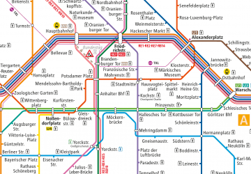
- U Potsdamer Platz • Lines: U2 (6 min walk)
- U Mohrenstraße • Lines: U2 (9 min walk)
Train
- Berlin Potsdamer Platz (8 min walk)
- U Möckernbrücke (15 min walk)
Tram
- S+U Friedrichstraße • Lines: 12, M1 (23 min walk)
- Universitätsstraße • Lines: 12, M1 (24 min walk)
 Metro
Metro


