Babilonie

Gallery (1)
Map
Map
Facts and practical information
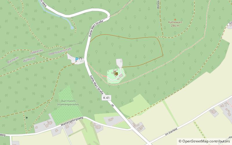
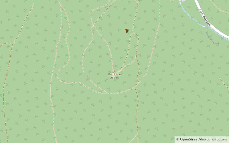
The Babilonie is a hillfort of the La Tène culture at a height of 255.6 metres above sea level on the northern edge of a rounded hill in the Wiehen Hills above the Lübbecke village of Obermehnen in the district of Minden-Lübbecke in the German state of North Rhine-Westphalia. The name is derived from the Germanic baben in the lon i.e. "up in the woods". ()
Location
North Rhine-Westphalia
ContactAdd
Social media
Add
Day trips