Rabensteinplatz, Leipzig
Map

Map

Facts and practical information
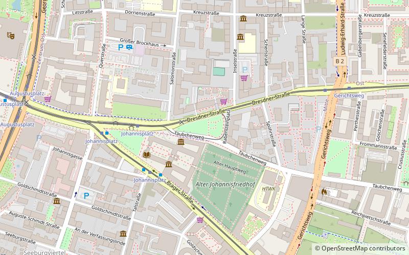
Rabensteinplatz is a square located as a green space in the eastern suburbs of Leipzig. Historically a place of execution, it was developed into a green space in the 19th century. Rabensteinplatz is listed as a historical monument.
Elevation: 387 ft a.s.l.Coordinates: 51°20'17"N, 12°23'23"E
Address
Mitte (Zentrum-Südost)Leipzig
ContactAdd
Social media
Add
Day trips
Rabensteinplatz – popular in the area (distance from the attraction)
Nearby attractions include: St. Nicholas Church, Gewandhaus, Hauptbahnhof, Mendelssohn House.
Frequently Asked Questions (FAQ)
Which popular attractions are close to Rabensteinplatz?
Nearby attractions include Museum of Musical Instruments of Leipzig University, Leipzig (2 min walk), Grassimuseum, Leipzig (2 min walk), Leipzig Museum of Ethnography, Leipzig (3 min walk), Alter Johannisfriedhof, Leipzig (3 min walk).
How to get to Rabensteinplatz by public transport?
The nearest stations to Rabensteinplatz:
Tram
Bus
Train
Tram
- Johannisplatz • Lines: 12, 15, 4, 7, N17 (4 min walk)
- Gerichtsweg • Lines: 4, 7, N17 (7 min walk)
Bus
- Johannisplatz • Lines: +690 (4 min walk)
- Augustusplatz • Lines: N8, N9 (10 min walk)
Train
- Leipzig Hauptbahnhof (17 min walk)
- Leipzig Bayerischer Bahnhof (18 min walk)


