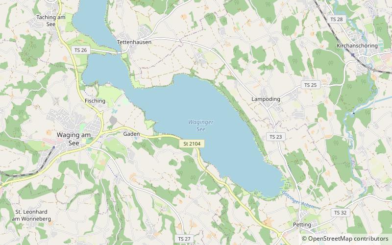
Waginger See
Map

Map

Facts and practical information
Waginger See is a lake in the Alpine foothills, Bavaria, Germany. Geologically, it forms one single lake with the Tachinger See, with which it is connected through a narrow strait at Tettenhausen. The surface area of the Waginger See proper is 6.61 km2; combined with the Tachinger See it is 8.97 km2. Its elevation is 441 m and its drainage area is 163.66 km2. Its primary inflows are Schinderbach, Höllenbach and Tenglinger Bach, and it is drained by the Götzinger Achen. ()
Alternative names: Area: 2.55 mi²Maximum depth: 89 ftElevation: 1444 ft a.s.l.Coordinates: 47°56'15"N, 12°46'37"E
Location
Bavaria
ContactAdd
Social media
Add
Day trips
Waginger See – popular in the area (distance from the attraction)
Nearby attractions include: Seeteufel, Mariä Himmelfahrt, Glasatelier Schimmer, Petting.


