Archivpark, Nuremberg
Map
Gallery
Facts and practical information
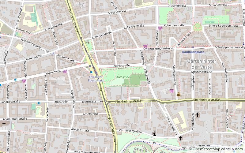
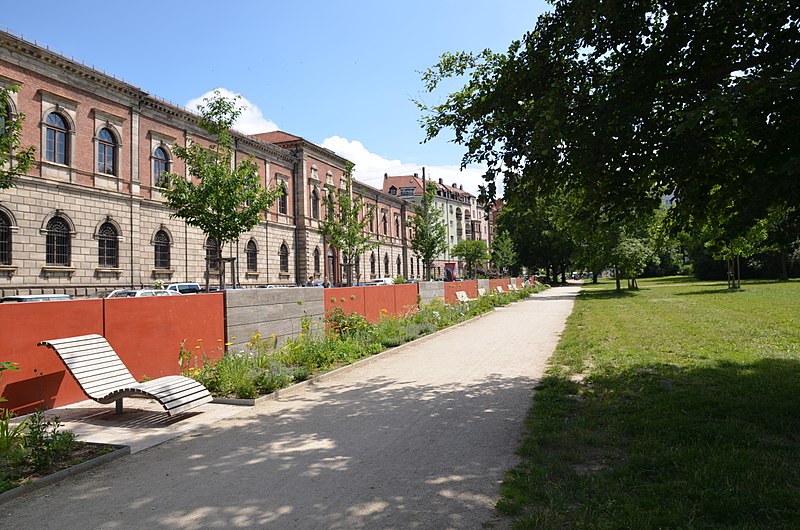
Archivpark, also known as Colleggarten or Kolleggarten after the "Colleg Society" that created the park, is a neighborhood park of about 2.2 hectares in the Gärten hinter der Veste district of Nuremberg. It originated from a plot of land owned and used as a garden by the big merchant Georg Zacharias Platner in the north of the city of Nuremberg. According to today's street names, the garden extended from Archivstraße to Pirckheimerstraße and from Bucher Straße to Pilotystraße.
Elevation: 1066 ft a.s.l.Coordinates: 49°27'43"N, 11°4'25"E
Address
Archivstraße 1Mitte (Pirckheimerstraße)Nuremberg
ContactAdd
Social media
Add
Day trips
Archivpark – popular in the area (distance from the attraction)
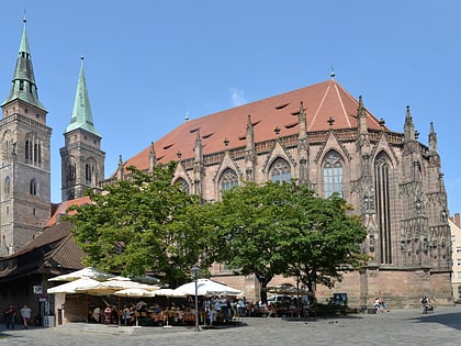
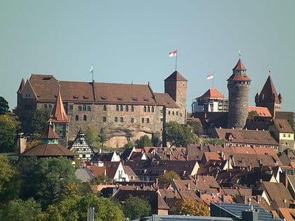
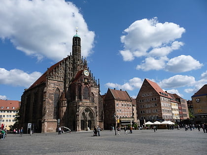
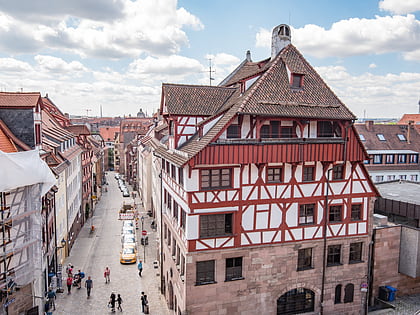
Nearby attractions include: St. Sebald, Nuremberg Castle, Frauenkirche, Albrecht Dürer's House.
Frequently Asked Questions (FAQ)
Which popular attractions are close to Archivpark?
Nearby attractions include Nuremberg Castle, Nuremberg (8 min walk), Historischer Kunstbunker, Nuremberg (9 min walk), Church of Peace, Nuremberg (11 min walk), Historic Rock-cut Cellars, Nuremberg (11 min walk).
How to get to Archivpark by public transport?
The nearest stations to Archivpark:
Tram
Bus
Metro
Train
Tram
- Friedrich-Ebert-Platz • Lines: 4 (3 min walk)
- Tiergärtnertor • Lines: 4 (7 min walk)
Bus
- Friedrich-Ebert-Platz • Lines: N10 (3 min walk)
- Klinikum Nord • Lines: 34 (10 min walk)
Metro
- Friedrich-Ebert-Platz • Lines: U3 (3 min walk)
- Kaulbachplatz • Lines: U3 (7 min walk)
Train
- Nürnberg Hauptbahnhof (32 min walk)
- Nürnberg Rothenburger Straße (36 min walk)

