Hochkarspitze
Map

Map

Facts and practical information
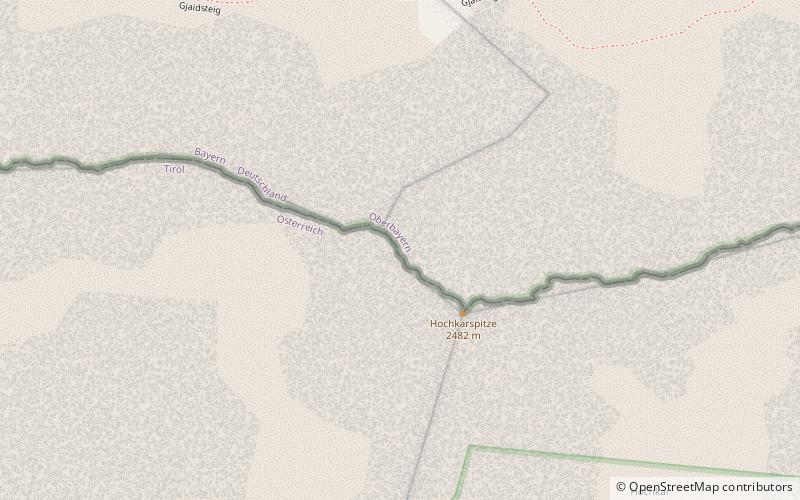
The Hochkarspitze is a 2,484 m high mountain in the Karwendel on the border between Bavaria and Tyrol. It is part of the Northern Karwendel Chain, which runs initially northwards before swinging east at the Wörner. The Hochkarspitze lies east of the Wörner summit and is the highest point of the massif that it forms jointly with the Wörner. ()
Location
Bavaria
ContactAdd
Social media
Add
Day trips
Hochkarspitze – popular in the area (distance from the attraction)
Nearby attractions include: Lautersee, Luttensee, Linderspitzen, Hoher Kranzberg.


