Luttensee
#494 among destinations in Germany
Facts and practical information
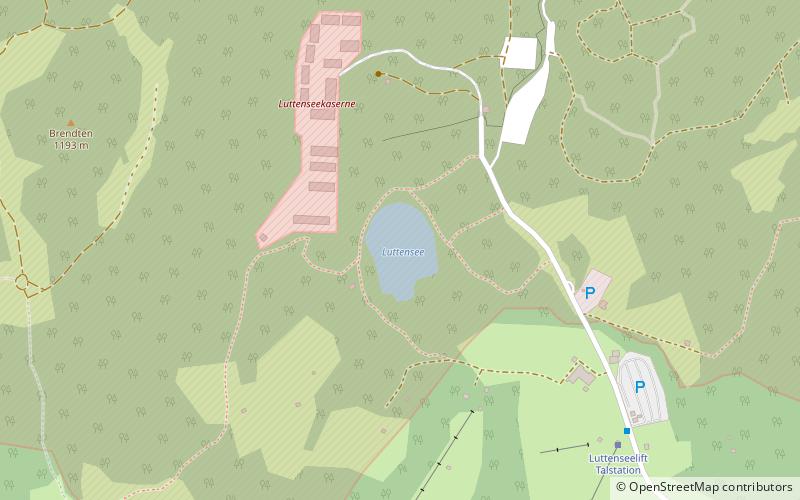
Luttensee is a small natural lake in the municipality of Mittenwald, Landkreis Garmisch-Partenkirchen, Upper Bavaria, Germany. ()
BavariaGermany
Luttensee – popular in the area (distance from the attraction)
Nearby attractions include: Lautersee, Wank Mountain, Linderspitzen, Hoher Kranzberg.
1.6 miSWNatural attraction, Nature, LakeLautersee
41 min walk • Nestled in the heart of the Bavarian Alps, Lautersee is a picturesque mountain lake that epitomizes the serene beauty of Germany's natural landscapes. Surrounded by lush forests and rugged peaks, this tranquil body of water offers a peaceful escape from the bustle of...
6.2 miNWNatural attraction, Nature, MountainWank Mountain
158 min walk • Wank Mountain, located in the Bavarian Alps of southern Germany, stands as a scenic and inviting peak for nature enthusiasts and hikers alike. At an elevation of 1,780 meters, Wank Mountain offers panoramic views of the surrounding alpine landscape, including a...
3 miSENatural attraction, Nature, MountainLinderspitzen
76 min walk • The Linderspitzen are three summits of the Karwendel range at the border between the Austrian state of Tyrol and the German state of Bavaria.
0.9 miSWNatural attraction, Nature, MountainHoher Kranzberg
24 min walk • The Hoher Kranzberg is a mountain in Bavaria, Germany. Compared to its neighbours in the Wetterstein Mountains and the Karwendel Mountains, the Hoher Kranzberg is more of a gentle grass hill.
4.5 miNENatural attraction, Nature, MountainSchöttelkarspitze
114 min walk • Schöttelkarspitze is a mountain of Bavaria, Germany.
5.3 miENatural attraction, Nature, MountainSoiernspitze
134 min walk • At 2,257 metres, the Soiernspitze is the highest mountain in the Soiern Group in the Bavarian Karwendel range. Its summit may be climbed either from Seinsbachtal or from the Soiernhäusern by the lakes of Soiernseen in an easy mountain hike.
2.1 miSWNatural attraction, Nature, LakeFerchensee
54 min walk • Ferchensee is a lake in Oberbayern, Bavaria, Germany, located at an elevation of 1060 metres. It is currently ranked #2 of 15 things to do in Mittenwald on TripAdvisor.
4.7 miENatural attraction, Nature, MountainHochkarspitze
119 min walk • The Hochkarspitze is a 2,484 m high mountain in the Karwendel on the border between Bavaria and Tyrol. It is part of the Northern Karwendel Chain, which runs initially northwards before swinging east at the Wörner.
2.9 miNNatural attraction, Nature, LakeBarmsee
73 min walk • Barmsee is a lake in Oberbayern, Bavaria, Germany. At an elevation of 885.03 m, its surface area is 55 hectares.
4 miSENature, Natural attraction, MountainRotwandlspitze
103 min walk • Rotwandlspitze is a mountain of Bavaria, Germany. It forms a double peak with Brunnensteinspitze.
3.5 miSWNature, Natural attraction, MountainWettersteinspitzen
90 min walk • Wettersteinspitzen is a mountain of Bavaria, Germany.