Ramersdorf-Perlach, Munich
Map
Gallery
Facts and practical information
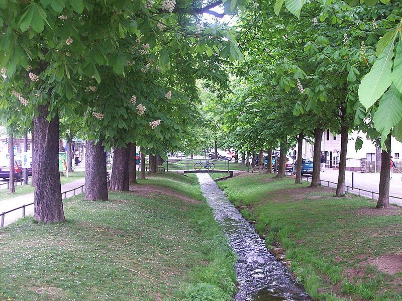
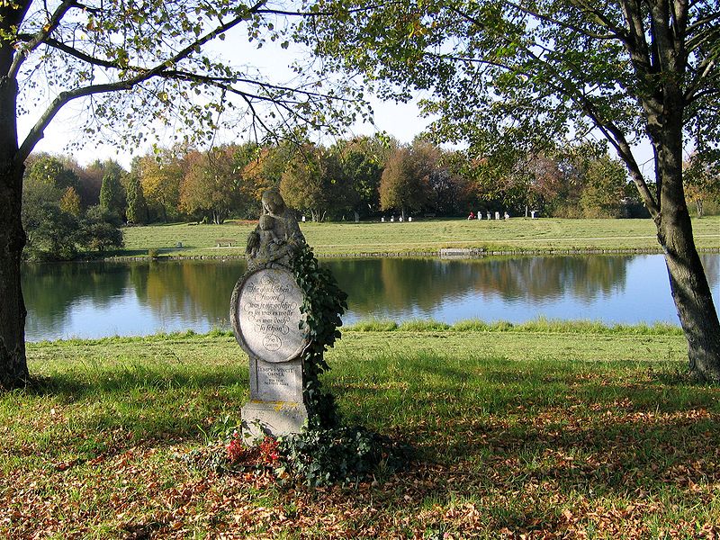
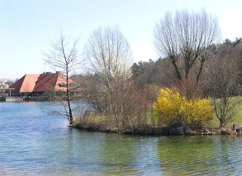
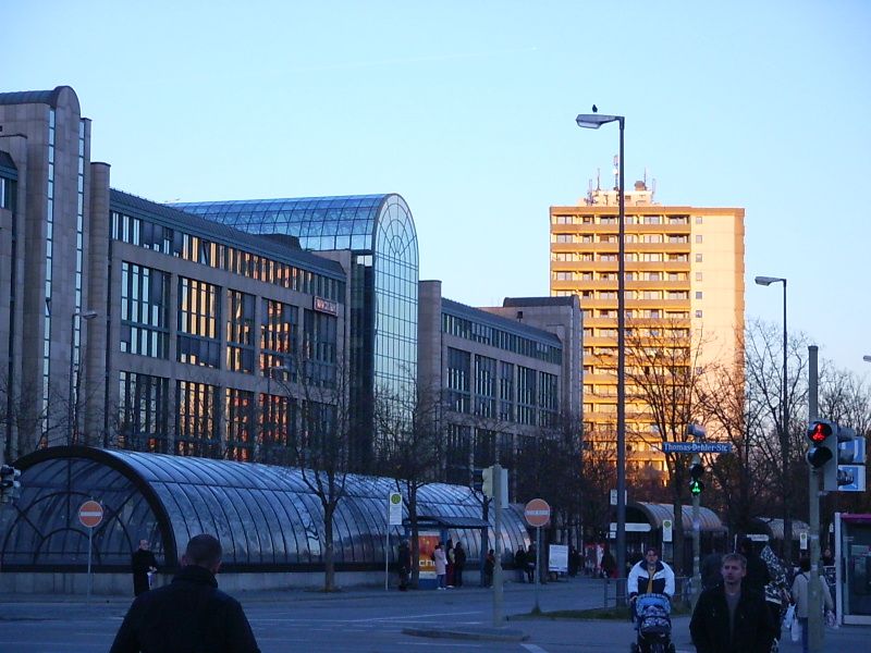
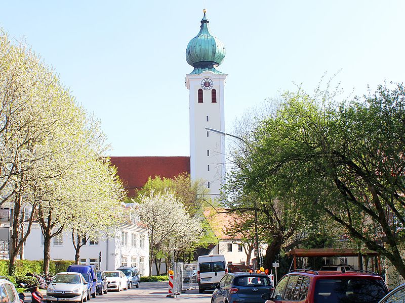
Ramersdorf-Perlach is a borough of Munich. It is located south-east of the city center and is the most populous of Munich's boroughs with a population of about 116,000. ()
Address
Ramersdorf - Perlach (Altperlach)Munich
ContactAdd
Social media
Add
Day trips
Ramersdorf-Perlach – popular in the area (distance from the attraction)
Nearby attractions include: PEP Perlacher Einkaufspassagen, Ostpark, Michaelibad, MVG Museum.
Frequently Asked Questions (FAQ)
Which popular attractions are close to Ramersdorf-Perlach?
Nearby attractions include Ständlerstraße, Munich (6 min walk), St Mary's Church, Munich (24 min walk), FestSpielHaus, Munich (24 min walk).
How to get to Ramersdorf-Perlach by public transport?
The nearest stations to Ramersdorf-Perlach:
Bus
Train
Metro
Tram
Bus
- Weddigenstraße • Lines: 55, N45 (2 min walk)
- Neuer Südfriedhof • Lines: 139 (5 min walk)
Train
- Perlach (19 min walk)
- Fasangarten (29 min walk)
Metro
- Neuperlach Zentrum • Lines: U5, U7, U8 (26 min walk)
- Therese-Giehse-Allee • Lines: U5 (26 min walk)
Tram
- MVG Museum • Lines: E7 (27 min walk)


