Kellerberg
Map

Map

Facts and practical information
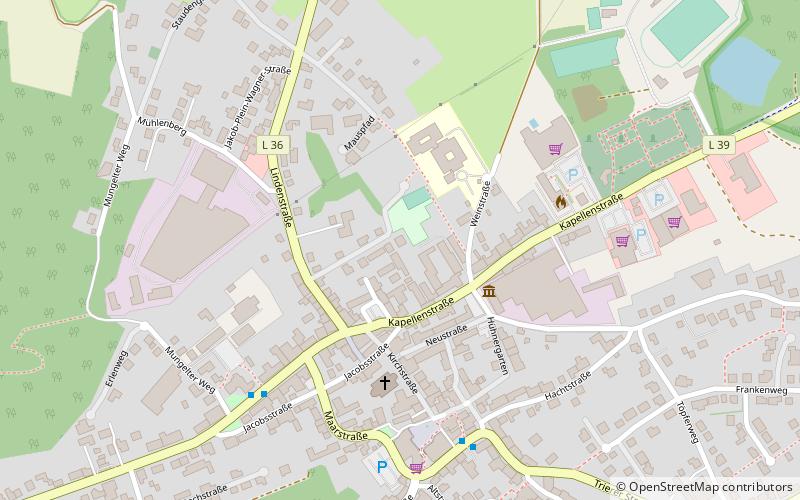
The Kellerberg is a hill, 448.8 m above sea level, and the highest point of the Eifel part of the Meulenwald and of the collective municipality of Wittlich-Land. It rises near Dierscheid in the county of Bernkastel-Wittlich in the German state of Rhineland-Palatinate. At the top is the Kellerberg Observation Tower. ()
Location
Rhineland-Palatinate
ContactAdd
Social media
Add
Day trips
Kellerberg – popular in the area (distance from the attraction)
Nearby attractions include: Dudeldorf Castle, Speicher.


