Tollensesee
Map

Map

Facts and practical information
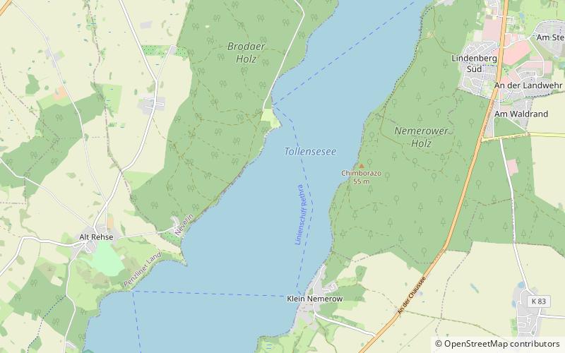
Tollensesee is a zungenbecken lake in Mecklenburg-Vorpommern, Germany. It belongs to the Mecklenburg Lake District. At an elevation of 14.8 m, its surface area is 17.4 km². Its maximum depth is about 33 m. The lake is 10.4 km long and between 1.5 and 2.5 km wide. The entire lake lies within the administrative area of the city of Neubrandenburg. In the south part of the lake there is island Fischerinsel. ()
Alternative names: Area: 6.91 mi²Maximum depth: 108 ftElevation: 49 ft a.s.l.Coordinates: 53°30'24"N, 13°12'30"E
Location
Mecklenburg-West Pomerania
ContactAdd
Social media
Add
Day trips
Tollensesee – popular in the area (distance from the attraction)
Nearby attractions include: Mary's Church, Kulturfinger, Slawendorf Passentin, Neubrandenburg Regional Museum.


