Katzenbuckel
Facts and practical information
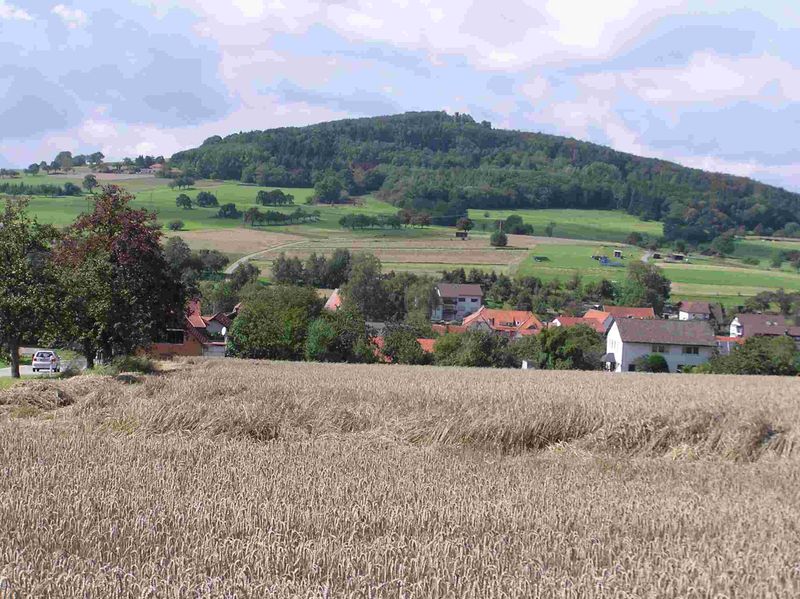
Nestled in the lush landscape of the Odenwald region in Germany, Katzenbuckel is a testament to the area's fiery geological past. This extinct volcano, the highest peak in the Odenwald, rises to an elevation of 626 meters, offering breathtaking views of the surrounding countryside.
Formed around 60 million years ago during the Eocene epoch, Katzenbuckel's distinctive dome shape is a result of volcanic activity that has long since quieted. The name itself, which translates to "Cat's Hump," aptly describes the rounded silhouette of the hill that can be seen from afar.
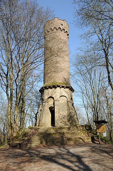
Today, Katzenbuckel is a popular destination for both tourists and geology enthusiasts. The area boasts a well-maintained network of hiking trails that lead to the summit, where visitors can find an observation tower. This tower, built on the remnants of the ancient volcanic vent, allows for a panoramic view that extends over the dense forests of the Odenwald and, on clear days, reaches to the distant hills of the Palatinate forest.
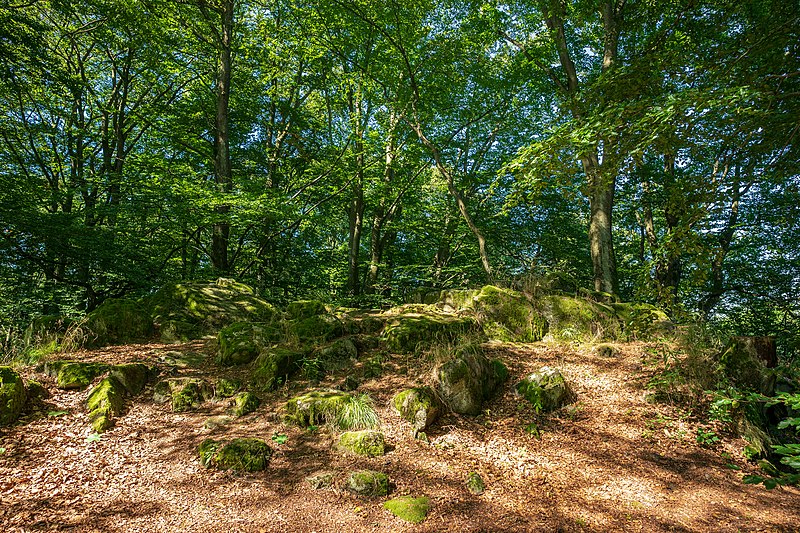
The region around Katzenbuckel also features a geological park, where visitors can learn more about the volcanic origins of the landscape and the diverse types of rocks formed by the ancient eruptions. The park serves as an educational resource, helping to explain the complex processes that have shaped this part of Germany over millions of years.
Baden-Württemberg
Katzenbuckel – popular in the area (distance from the attraction)
Nearby attractions include: Naturpark Neckartal-Odenwald, Burg Stolzeneck, Minneburg, Freienstein.


