Innerste Dam
Map
Gallery
Facts and practical information
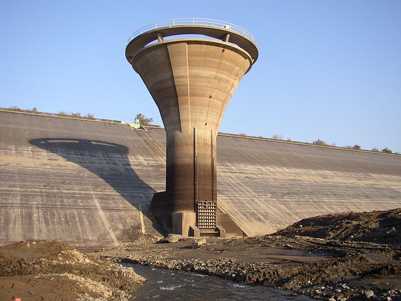
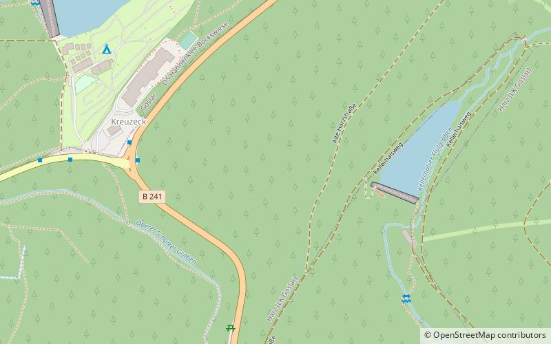
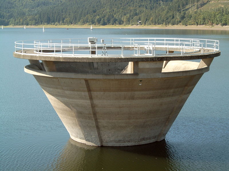
The Innerste Dam is a dam on the Innerste river, which lies near Langelsheim and Wolfshagen in the Harz mountains. It was built between 1963 and 1966 and belongs to the Harzwasserwerke. Its purposes are the supply of drinking water, flood protection, water flow regulation and hydroelectric power generation. The average annual discharge through the Innerste Dam is 60 million m³. ()
Local name: Innerstetalsperre Opened: 1966 (60 years ago)Length: 2461 ftHeight: 131 ftCoordinates: 51°54'39"N, 10°17'5"E
Location
Lower Saxony
ContactAdd
Social media
Add
Day trips
Innerste Dam – popular in the area (distance from the attraction)
Nearby attractions include: Gustav-Adolf-Stabkirche, Lower Grumbach Pond, Bocksberg, Königsberg.


