Lower Grumbach Pond
Map

Map

Facts and practical information
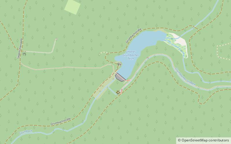
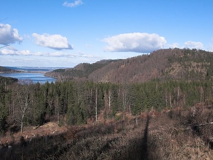
The Lower Grumbach Pond, usually just Grumbach Pond, is an old mining reservoir or Kunstteich between Hahnenklee and Wildemann in the Upper Harz mountains in Germany ()
Local name: Unterer Grumbacher Teich Height: 25 ftElevation: 1611 ft a.s.l.Coordinates: 51°50'57"N, 10°17'59"E
Location
Lower Saxony
ContactAdd
Social media
Add
Day trips
Lower Grumbach Pond – popular in the area (distance from the attraction)
Nearby attractions include: Iberg Dripstone Cave, Gustav-Adolf-Stabkirche, Hübichenstein, Upper Harz Mining Museum.


