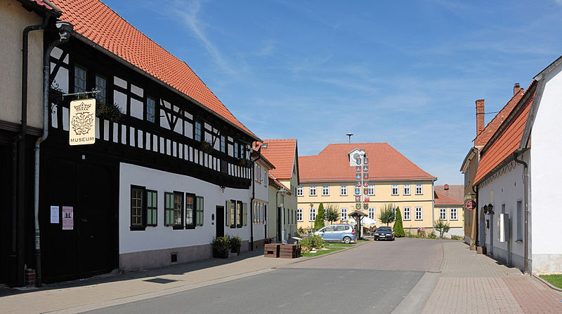
Bach-Stammhaus

Gallery (2)
Map
Map
Gallery
Facts and practical information
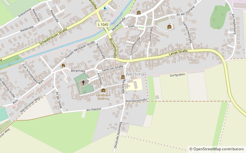
Bach-Stammhaus (address: Bachstraße 4) is a place located in Germany and belongs to the category of museum.
It is situated at an altitude of 1017 feet, and its geographical coordinates are 50°53'29"N latitude and 10°46'37"E longitude.
Among other places and attractions worth visiting in the area are: Burg Gleichen (forts and castles, 72 min walk), Gleichen (forts and castles, 92 min walk), Zoological gardenGotha (park, 99 min walk).
Coordinates: 50°53'29"N, 10°46'37"E
Location
Bachstraße 4Günthersleben-Wechmar 99869 Thuringia
Contact
+49 36256 22680
Social media
Add
Day trips


