Alter Friedhof, Saarlouis
Map

Map

Facts and practical information
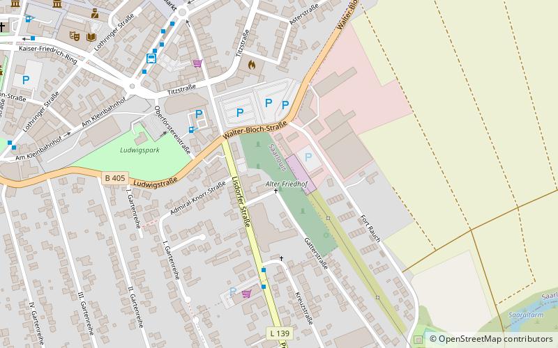
The Old Cemetery of Saarlouis is located south of Walter-Bloch-Strasse and was established in 1773. It is about 300 meters long and has an area of 1.7 hectares. The cemetery, which is now a listed building, has been expanded several times and is still occupied today. There are over 600 graves there, 131 of which are on the Jewish part, where the last burial for the time being took place in 1997.
Coordinates: 49°18'36"N, 6°45'24"E
Address
Saarlouis
ContactAdd
Social media
Add
Day trips
Alter Friedhof – popular in the area (distance from the attraction)
Nearby attractions include: Altes Schloss, Bunker 20, St. Ludwig catholic church, Museum Pachten.


