Rathaus Gemeinde Saarwellingen

Gallery (1)
Map
Map
Facts and practical information
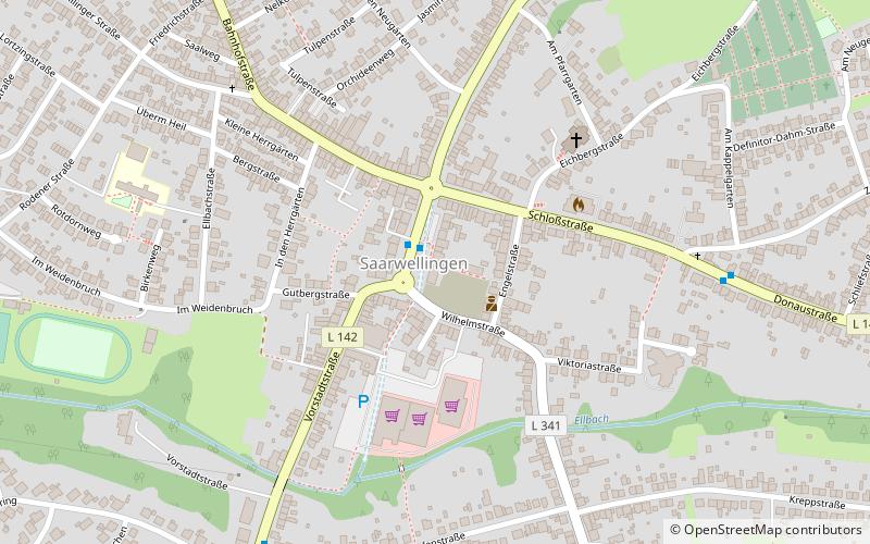
Rathaus Gemeinde Saarwellingen (address: Vorstadtstr. 26) is a place located in Germany and belongs to the category of city hall.
It is situated at an altitude of 666 feet, and its geographical coordinates are 49°21'9"N latitude and 6°48'24"E longitude.
Among other places and attractions worth visiting in the area are: Nalbach (locality, 51 min walk), SaarlouisSaarlouis (neighbourhood, 77 min walk), Altes SchlossDillingen (museum, 84 min walk).
Coordinates: 49°21'9"N, 6°48'24"E
Day trips


