Landmarke Hervest, Dorsten

Gallery (1)
Map
Map
Facts and practical information
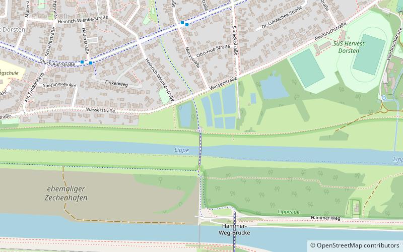
Landmarke Hervest is a place located in Dorsten (North Rhine-Westphalia state) and belongs to the category of sightseeing.
It is situated at an altitude of 98 feet, and its geographical coordinates are 51°39'58"N latitude and 6°59'26"E longitude.
Planning a visit to this place, one can easily and conveniently get there by public transportation. Landmarke Hervest is a short distance from the following public transport stations: Hafenbahn (bus, 5 min walk), Hervest-Dorsten (train, 21 min walk).
Among other places and attractions worth visiting in the area are: Lore (monuments and statues, 13 min walk), ehemalige Zeche Fürst Leopold (park, 13 min walk), Brunnen (fountain, 14 min walk).
Coordinates: 51°39'58"N, 6°59'26"E
Address
Dorsten
ContactAdd
Social media
Add
Getting there by public transportation
Public transportation stops near this location
- Bus
- Train
 Bus
Bus
- Calculate routeHafenbahn 5 min walk
- Calculate routeHauerstraße 7 min walk
- Calculate routeJosefstraße 9 min walk
- Calculate routeHervest-Dorsten 21 min walk
- Calculate routeDorsten 27 min walk
Day trips


Frequently Asked Questions (FAQ)
Which popular attractions are close to Landmarke Hervest?
Nearby attractions include Lore, Dorsten (13 min walk), ehemalige Zeche Fürst Leopold, Dorsten (13 min walk), Brunnen, Dorsten (14 min walk).
How to get to Landmarke Hervest by public transport?
The nearest stations to Landmarke Hervest:
Bus
Train
Bus
- Hafenbahn • Lines: 208, 274, Ne8 (5 min walk)
- Hauerstraße • Lines: 208, 274, Ne8 (7 min walk)
Train
- Hervest-Dorsten (21 min walk)
- Dorsten (27 min walk)