Packhaus, Tönning

Gallery (1)
Map
Map
Facts and practical information
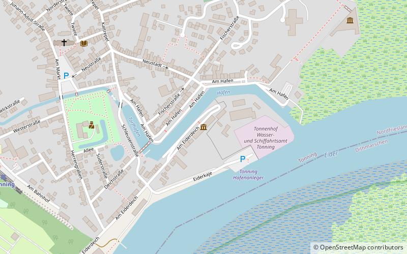
Packhaus (address: Am Eiderdeich 18) is a place located in Tönning (Schleswig-Holstein state) and belongs to the category of museum.
It is situated at an altitude of 13 feet, and its geographical coordinates are 54°18'54"N latitude and 8°56'48"E longitude.
Among other places and attractions worth visiting in the area are: St. Laurentius's Church (church, 8 min walk), Dithmarscher Eiderwatt (national park, 75 min walk), Herrenhaus Hoyerswort (museum, 77 min walk).
Coordinates: 54°18'54"N, 8°56'48"E
Address
Am Eiderdeich 18Tönning
ContactAdd
Social media
Add
Day trips
Packhaus – popular in the area (distance from the attraction)
Nearby attractions include: St. Laurentius's Church, Herrenhaus Hoyerswort, Geschlechterfriedhof Lunden, Dithmarscher Eiderwatt.