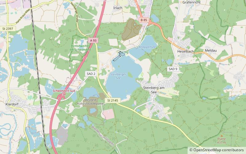
Steinberger See
Map

Map

Facts and practical information
Steinberger See is a lake in Bavaria, Germany. At an elevation of 364 m, its surface area is 1.84 km². Situated in SSE Germany, It is home to its own water skiing place. ()
Alternative names: Area: 0.71 mi²Maximum depth: 197 ftElevation: 1175 ft a.s.l.Coordinates: 49°16'51"N, 12°9'46"E
Location
Bavaria
ContactAdd
Social media
Add
Day trips
Steinberger See – popular in the area (distance from the attraction)
Nearby attractions include: Kreuzberg Church, Schloss Fronberg, Murner See, Burglengenfeld.


