Trek Zone

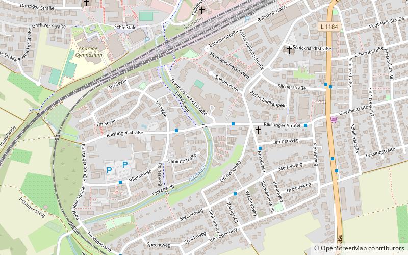
Raistinger Straße, Herrenberg

#2 among attractions in Herrenberg

Bridge
Raistinger Straße

Facts and practical information

Raistinger Straße (address: Raistinger Straße 24) is a place located in Herrenberg (Baden-Württemberg state) and belongs to the category of bridge.

It is situated at an altitude of 1362 feet, and its geographical coordinates are 48°35'24"N latitude and 8°51'33"E longitude.

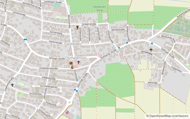
Among other places and attractions worth visiting in the area are: Glockenmuseum (specialty museum, 19 min walk), Gäufelden (locality, 78 min walk), St.-Veit-Kirche, Gärtringen (church, 102 min walk).

Coordinates: 48°35'24"N, 8°51'33"E
Address

Raistinger Straße 24Herrenberg Germany

ContactAdd
Social media
Add

Herrenberg plan & book

Unleash the traveler in you — discover the cheapest flight deals, find the perfect hotel or hostel nearby, and search for the best car rental prices. Travel at your own pace to discover new places and enjoy your journey.

Day trips

Raistinger Straße – popular in the area (distance from the attraction)

Nearby attractions include: Glockenmuseum, Lerchenberg, Kochhart, St.-Veit-Kirche.

  • glockenmuseum herrenberg0.7 miNE
  • lerchenberg5.9 miNW
  • kochhart4.2 miSE
  • st veit kirche gartringen4 miNE
  • villa schwalbenhof gartringen4.1 miNE
  • ammerbuch5.4 miSE
  • gaufelden location map
    3 miSW
  • wildberg5.7 miNW

Where to next? Visit baden wurttemberg Baden-Württemberg region page or discover the top tourist attractions in Germany.