Sommerhoffpark, Frankfurt
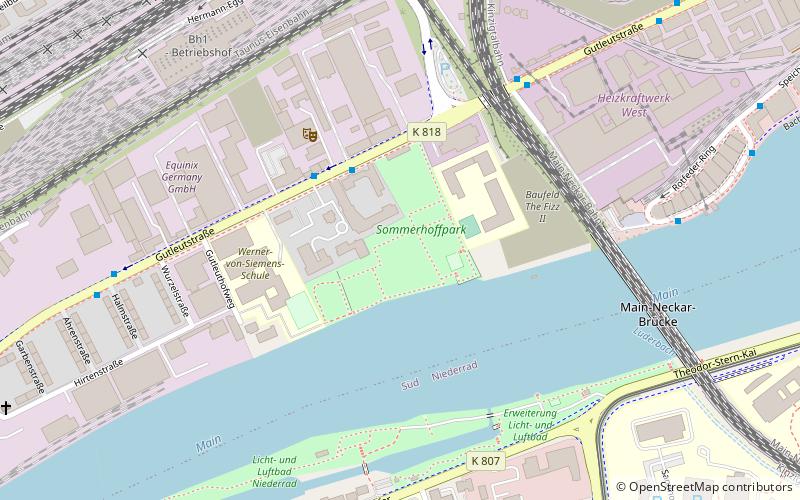
Map
Gallery
Facts and practical information
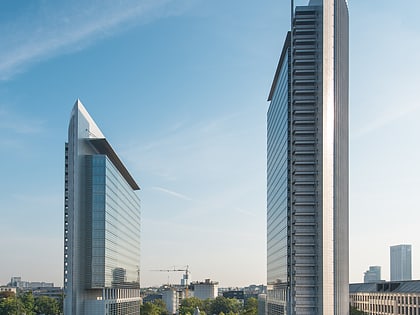
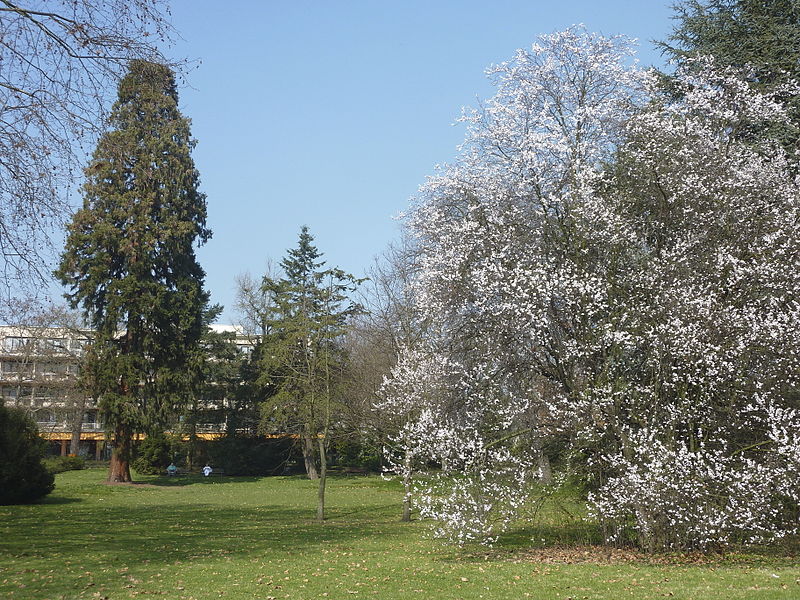
Sommerhoffpark is a 2.47-hectare green space in the Gutleut district of the Hessian city of Frankfurt am Main that has existed since the 19th century. The park, now open to the public, grew out of a private English landscape garden that had been part of the country residence of Frankfurt banker Johann Noe Gogel from the early to the late 19th century. Since 1928, the park has been owned by the city of Frankfurt.
Elevation: 331 ft a.s.l.Coordinates: 50°5'47"N, 8°38'55"E
Address
Innenstadt (Gutleutviertel)Frankfurt
ContactAdd
Social media
Add
Day trips
Sommerhoffpark – popular in the area (distance from the attraction)
Nearby attractions include: Skyline Plaza, Städel Museum, Museum für Kommunikation, Liebieghaus.
Frequently Asked Questions (FAQ)
Which popular attractions are close to Sommerhoffpark?
Nearby attractions include Gallus, Frankfurt (15 min walk), Bahnhofsviertel, Frankfurt (16 min walk), Niederrad, Frankfurt (16 min walk), Gutleutviertel, Frankfurt (17 min walk).
How to get to Sommerhoffpark by public transport?
The nearest stations to Sommerhoffpark:
Bus
Tram
Train
Metro
Bus
- Johanna-Kirchner-Altenhilfezentrum • Lines: 37, 87 (3 min walk)
- Camberger Straße • Lines: 37 (6 min walk)
Tram
- Heinrich-Hoffmann-Straße/Blutspendedienst • Lines: 12, 15, 19, 20, 21 (10 min walk)
- Universitätsklinikum • Lines: 12, 15, 19, 20, 21 (13 min walk)
Train
- Frankfurt Galluswarte (14 min walk)
- Frankfurt Hauptbahnhof (24 min walk)
Metro
- Hauptbahnhof • Lines: U4, U5 (27 min walk)
- Festhalle/Messe • Lines: U4 (28 min walk)


