Waterway trail on the Moosalbe
Map

Map

Facts and practical information
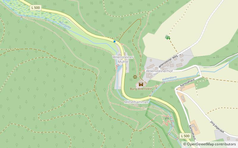
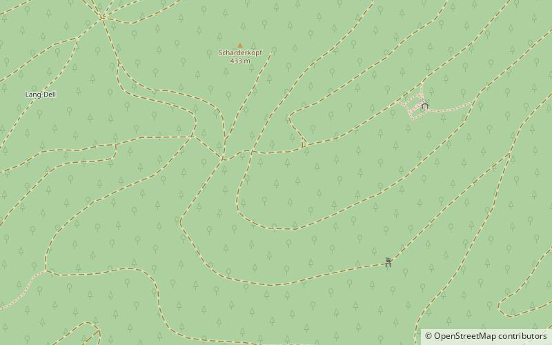
The Waterway trail on the Moosalbe is one of seven themed walks on the subject of hydrology in the German state of Rhineland-Palatinate. The path runs for over 33 km along the Moosalbe and Hirschalbe streams through the Palatine Forest and has 23 way stations. ()
Local name: Gewässerwanderweg an der Moosalbe Length: 20.51 miSeason: All yearCoordinates: 49°21'17"N, 7°45'6"E
Location
Rhineland-Palatinate
ContactAdd
Social media
Add
Day trips
Waterway trail on the Moosalbe – popular in the area (distance from the attraction)
Nearby attractions include: Karlstal, Trippstadter Schloss, Amseldell, Burg Wilenstein.


