Fleuthebrücke, Gelsenkirchen
Facts and practical information
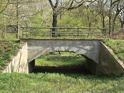
The Fleuthebrücke is part of the historic Gahlensche Straße in the Ruhr area.
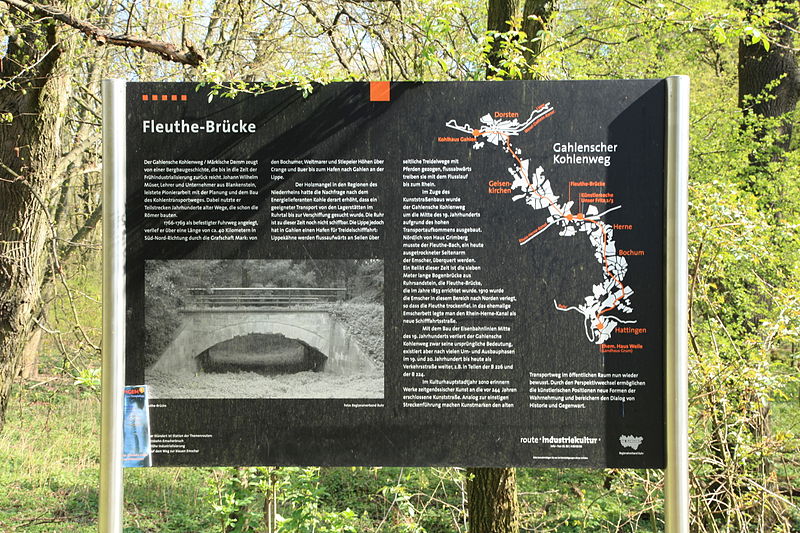
The coal road from Hattingen via Bochum to the village of Gahlen was laid out in 1766 as one of the first paved roads in the central Ruhr region. It served to transport the hard coal mined on the Ruhr to the north. In 1853, the seven-meter-long and six-meter-wide arched bridge made of sandstone was built over the Fleuthe, a tributary of the Emscher River on the right, as part of the coal road.
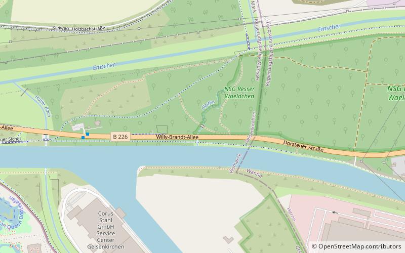
The bordering stream between Gelsenkirchen and Herne has dried up due to the relocation of the Emscher to the north, so that the bridge has lost its technical meaning in the meantime. Nevertheless, it is still preserved, was restored from 1992 to 1994 and registered as a monument in both cities. It is accessible to tourists via a parking lot for hikers and a bus stop named after it on the B 226. It is also part of the project Kunststraße wird Straße der Kunst, with which Gahlensche Straße was featured in the Capital of Culture year 2010.
The Coal Road and the bridge are parts of the Industrial Heritage Route.
Gelsenkirchen-Mitte (Bismarck)Gelsenkirchen
Fleuthebrücke – popular in the area (distance from the attraction)
Nearby attractions include: Veltins-Arena, ZOOM Erlebniswelt Gelsenkirchen, Musiktheater im Revier, Mondpalast.
Frequently Asked Questions (FAQ)
Which popular attractions are close to Fleuthebrücke?
How to get to Fleuthebrücke by public transport?
Bus
- Fleuthebrücke • Lines: 342 (6 min walk)
- Schloßstraße • Lines: 328, 329 (16 min walk)
Tram
- ZOOM Erlebniswelt • Lines: 301 (19 min walk)
- Erle Forsthaus • Lines: 301 (22 min walk)
Train
- Gelsenkirchen Zoo (23 min walk)
