Berg am Laim, Munich
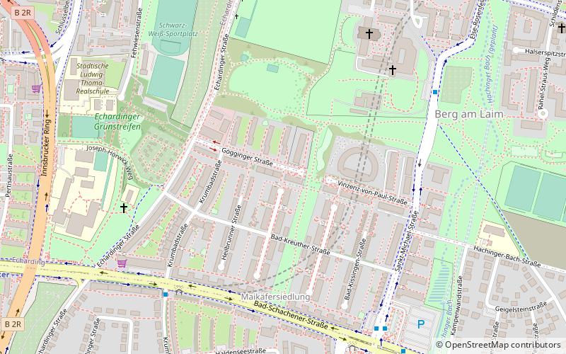
Map
Facts and practical information
Address
Berg am LaimMunich
ContactAdd
Social media
Add
Getting there by public transportation
Public transportation stops near this location
- Metro
- Bus
- Tram
- Train
 Metro
Metro
- Calculate routeBad-Schachener-Straße 6 min walk
- Calculate routeSankt Michael 7 min walk
- Calculate routeMichaelibad 7 min walk
- Calculate routeAltöttinger Straße 11 min walk
- Calculate routeMichaelibad 9 min walk
- Calculate routeJosephsburg 11 min walk
- Calculate routeInnsbrucker Ring 12 min walk
- Calculate routeKreillerstraße 24 min walk
- Calculate routeBaumkirchner Straße 12 min walk
- Calculate routeSchlüsselbergstraße 15 min walk
- Calculate routeMutschellestraße 15 min walk
- Calculate routeSt.-Veit-Straße 18 min walk
- Calculate routeBerg am Laim 22 min walk
- Calculate routeKreillerstraße 24 min walk
- Calculate routeLeuchtenbergring 26 min walk
- Calculate routeMünchen Ost 28 min walk
Day trips


Frequently Asked Questions (FAQ)
Which popular attractions are close to Berg am Laim?
Nearby attractions include St Michael in Berg am Laim, Munich (7 min walk), Ostpark, Munich (19 min walk), St Mary's Church, Munich (21 min walk).
How to get to Berg am Laim by public transport?
The nearest stations to Berg am Laim:
Bus
Metro
Tram
Train
Bus
- Bad-Schachener-Straße • Lines: 199 (6 min walk)
- Sankt Michael • Lines: 187 (7 min walk)
Metro
- Michaelibad • Lines: U5, U7, U8 (9 min walk)
- Josephsburg • Lines: U2 (11 min walk)
Tram
- Baumkirchner Straße • Lines: 21, N19 (12 min walk)
- Schlüsselbergstraße • Lines: 21, N19 (15 min walk)
Train
- Berg am Laim (22 min walk)
- Kreillerstraße (24 min walk)