St. Barbara, Essen

Facts and practical information
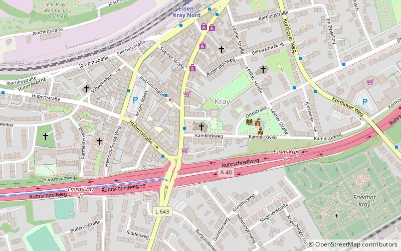
St. Barbara (address: Krayer Straße 228) is a place located in Essen (North Rhine-Westphalia state) and belongs to the category of church.
It is situated at an altitude of 256 feet, and its geographical coordinates are 51°27'58"N latitude and 7°4'52"E longitude.
Planning a visit to this place, one can easily and conveniently get there by public transportation. St. Barbara is a short distance from the following public transport stations: Ottostraße (bus, 6 min walk), Essen-Kray Nord (train, 6 min walk), Steele S (tram, 29 min walk).
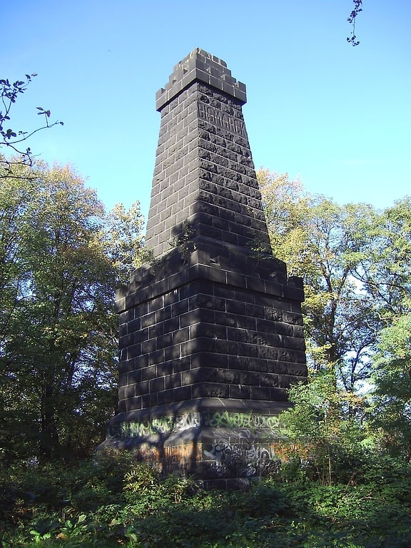
Among other places and attractions worth visiting in the area are: Rathaus Kray (city hall, 3 min walk), Bismarckturm Essen (tower, 25 min walk), Fürstin-Franziska-Christine-Stiftung (park, 31 min walk).
Krayer Straße 228Steele - Kray (Kray)Essen
- Bus
- Tram
- Train
 Bus
Bus
- Calculate routeOttostraße 6 min walk
- Calculate routeKray Nord Bf 6 min walk
- Calculate routeEssen-Kray Nord 6 min walk
- Calculate routeEssen-Kray Süd 17 min walk
- Calculate routeEssen-Steele 29 min walk
- Calculate routeSteele S 29 min walk


Frequently Asked Questions (FAQ)
How to get to St. Barbara by public transport?
Bus
- Ottostraße • Lines: 170, Ne13 (6 min walk)
- Kray Nord Bf • Lines: 144, 146, 170, 194, Ne14, Ne15, Ne3 (6 min walk)
Train
- Essen-Kray Nord (6 min walk)
- Essen-Kray Süd (17 min walk)
Tram
- Steele S • Lines: 103, 109 (29 min walk)