St.Antonius Kirche, Essen

Gallery (1)
Map
Map
Facts and practical information
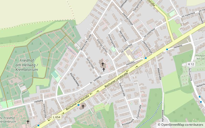
St.Antonius Kirche (address: Kütings Garten 3) is a place located in Essen (North Rhine-Westphalia state) and belongs to the category of church.
It is situated at an altitude of 341 feet, and its geographical coordinates are 51°27'13"N latitude and 7°6'9"E longitude.
Planning a visit to this place, one can easily and conveniently get there by public transportation. St.Antonius Kirche is a short distance from the following public transport stations: Märkische Straße (bus, 9 min walk), Essen-Eiberg (train, 23 min walk).
Among other places and attractions worth visiting in the area are: Friedenskirche Steele (church, 28 min walk), Zionskirche (church, 28 min walk), St. Joseph (church, 29 min walk).
Coordinates: 51°27'13"N, 7°6'9"E
Getting there by public transportation
Public transportation stops near this location
- Bus
- Train
 Bus
Bus
- Calculate routeMärkische Straße 9 min walk
- Calculate routeLuttropp 9 min walk
- Calculate routeHaferfeld 12 min walk
- Calculate routeFreisenbruchstraße 13 min walk
- Calculate routeEssen-Eiberg 23 min walk
- Calculate routeEssen-Steele Ost 23 min walk
- Calculate routeEssen-Steele 31 min walk
- Calculate routeEssen-Kray Nord 37 min walk
Day trips


Frequently Asked Questions (FAQ)
How to get to St.Antonius Kirche by public transport?
The nearest stations to St.Antonius Kirche:
Bus
Train
Bus
- Märkische Straße • Lines: 170, 174, 363 (9 min walk)
- Luttropp • Lines: 170 (9 min walk)
Train
- Essen-Eiberg (23 min walk)
- Essen-Steele Ost (23 min walk)