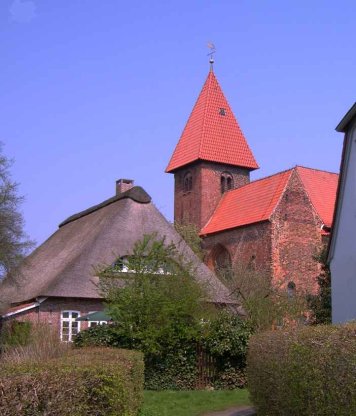
Klosterkirche St. Marien, Osterholz-Scharmbeck

Gallery (2)
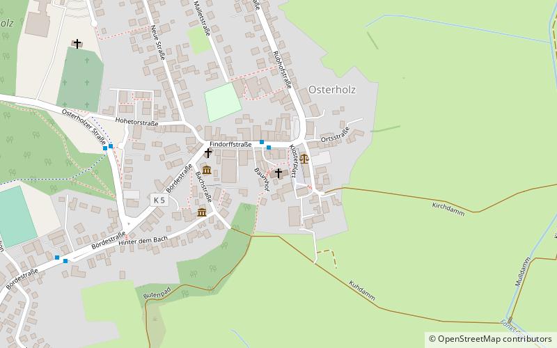
Map
Map
Gallery
Facts and practical information
The monastery church of St. Mary in Osterholz-Scharmbeck, district of Osterholz was built in the 12th century as a basilica in Romanesque style. Together with the parish hall built in 1562, it serves as a church and meeting place for the Evangelical Lutheran parish of St. Marien in the Hanoverian church district of Osterholz-Scharmbeck in the borough of Stade.
Coordinates: 53°13'28"N, 8°48'44"E
Day trips


