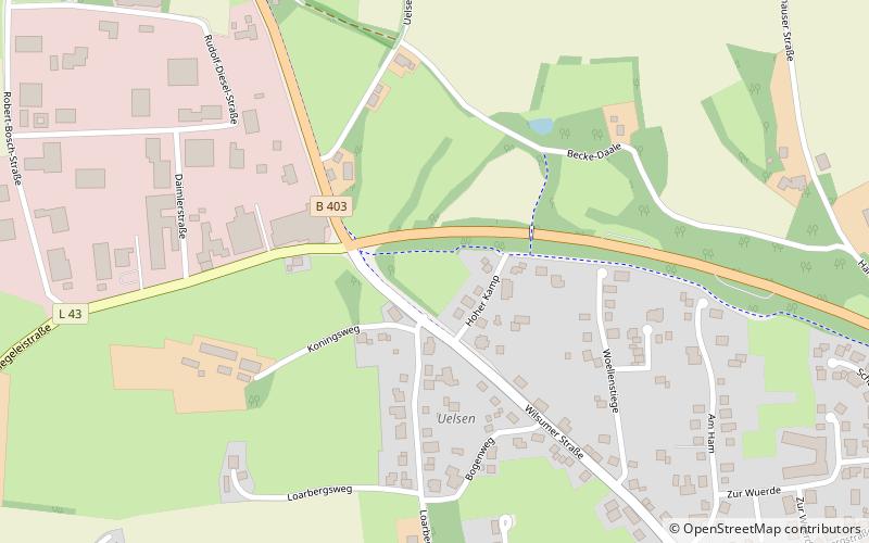
Uelsen, Uelsen

Map
Facts and practical information
Uelsen is a Samtgemeinde in the district of Bentheim, in Lower Saxony, Germany. Its seat is in the municipality Uelsen. ()
Day trips
Uelsen – popular in the area (distance from the attraction)
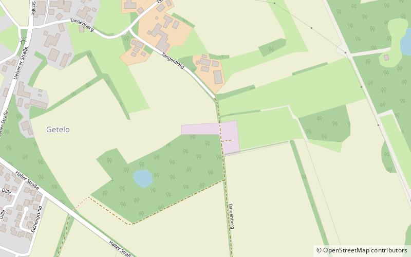
Nearby attractions include: Bronzezeithof Uelsen, Windmühle in Uelsen, Poascheberg, Getelo.


