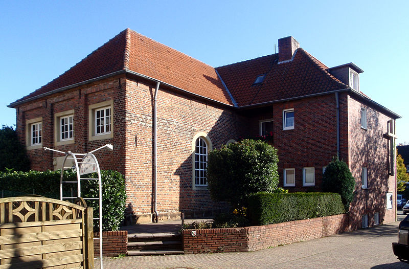
Former Synagogue, Coesfeld
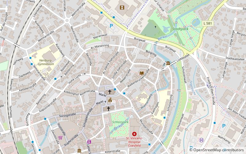
Map

Gallery

Facts and practical information
The former synagogue in Coesfeld, a town in North Rhine-Westphalia in the western Münsterland region, was consecrated as a Jewish place of worship in 1810. From 1966 to 2012, it served as a place of worship for the Coesfeld Baptist congregation. The synagogue is located at Weberstraße 7, and the building is listed as a historical monument.
Coordinates: 51°56'48"N, 7°10'9"E
Address
7 WeberstraßeCoesfeld
ContactAdd
Social media
Add
Day trips
Former Synagogue – popular in the area (distance from the attraction)
Nearby attractions include: Coesfeld Cross, Walkenbrückentor, Jesuit Church, St. Lamberti.
Frequently Asked Questions (FAQ)
Which popular attractions are close to Former Synagogue?
Nearby attractions include St. Lamberti, Coesfeld (2 min walk), Public library, Coesfeld (2 min walk), Coesfeld Cross, Coesfeld (2 min walk), Jesuit Church, Coesfeld (3 min walk).
How to get to Former Synagogue by public transport?
The nearest stations to Former Synagogue:
Bus
Train
Bus
- Lambertikirche • Lines: 561, 581, 582, 587, 677, 711, B51, N17, N20, N6, N8, R62, R81 (2 min walk)
- Lambertischule • Lines: 672, 673, 674, 675, 677 (5 min walk)
Train
- Coesfeld Schulzentrum (10 min walk)
- Coesfeld (14 min walk)


